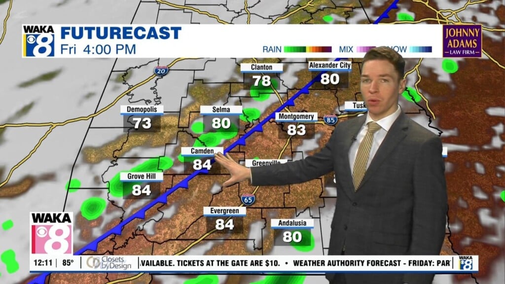
Hot/humid, scattered weekend storms; Drier, hotter early next week
Friday morning was mostly cloudy north of highway 80, but partly to mostly sunny in far south Alabama. Some showers/storms were drifting east near and north of highway 80 at midday. Shower/storm coverage looks widely scattered Friday afternoon with a partly to mostly cloudy sky. High temperatures range from the low to mid 90s, but heat indices may peak near or above 100°. Rain fades away Friday night. The sky become partly cloudy with lows in the mid 70s.
Rain coverage looks scattered mainly during the afternoon hours Saturday and Sunday. However, before cooling rain develops, temperatures reach the low to mid 90s while heat indices climb to near or over 100°. Temperatures trend hotter early next week while rain chances trend lower. Rain coverage becomes isolated at best Monday and Tuesday with high temperatures in the upper 90s for many.
Fortunately, the upper-90° heat only lasts a short time, as high temperatures trend back down into the low 90s next weekend. Shower/storm coverage remains isolated through Friday, but rain coverage may become scattered again next weekend.