Heat advisory continues, a few severe storms possible Wednesday
Wednesday afternoon looks very hot and humid again, with high temperatures in the mid 90s and heat indices approaching 110°. A heat advisory continues for most of central and south Alabama through 9PM Wednesday. However, the chance for an afternoon shower or storm looks a little higher. A “cold” front approaches our area Wednesday afternoon. Widely scattered showers and storms form along the front.

A few storms may become strong to severe, capable of damaging wind gusts up to 60 mph. A MARGINAL (level 1/5) severe risk includes southeast Alabama. Showers or storms linger into Wednesday evening. However, Wednesday night ultimately trends mainly dry while the sky becomes partly cloudy. Low temperatures range from the low to mid 70s.

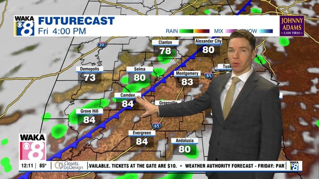
The front moves south through part of our area Thursday. Isolated showers or storms remain possible south/southeast along the front Thursday and Friday. The rest of the week still looks hot, with high temperatures in the mid 90s in many locations. However, heat indices may remain just below heat advisory criteria. August begins this weekend, and high temperatures may only be in the low 90s Saturday and Sunday.
Another front approaches our area from the west this weekend. It looks unlikely that the front pushes through central and south Alabama in a way that reduces heat or humidity. However, higher rain coverage keeps high temperatures a bit lower Saturday and Sunday. Even though the front stalls and fizzles out near our area by early next week, chances for rain remain slightly elevated through Wednesday. That may keep high temperatures in the low 90s.