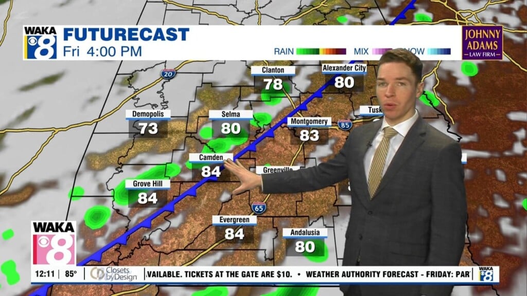
Low rain chances this week as tropical depression five heads west
The sky was partly to mostly sunny with just stay afternoon showers Monday afternoon. High temperatures were in the mid 90s in most locations with heat indices peaking just above 100°. Similar weather looks likely through the end of the week for the first several days of September. Meanwhile, Monday evening and night trend mainly dry with a mostly clear sky. Lows range from the low to mid 70s.
Tuesday looks partly to mostly sunny with just stray afternoon showers or storms. Temperatures reach the mid 90s in most locations during the afternoon, while heat indices exceed 100°. Rain chances rise only slightly for the rest of the week, with isolated afternoon/evening showers/storms Wednesday through Friday. Meanwhile, high temperatures remain in the mid 90s, but a couple locations could reach the upper 90s each afternoon.
Our area remains hot with high temperatures in the mid 90s this weekend. Rain coverage remains isolated Saturday and Sunday. The heat may back down some next week, with high temperatures in the low 90s Monday through Wednesday. However, rain chances likely remain low those days, with just isolated daytime showers and storms.