Dry with sunshine, mild Thursday; Much cooler Friday/this weekend
Thursday morning was much more sunny than Wednesday morning. Temperatures were mostly in the low 70s at midday. Temperatures may fall slightly Wednesday afternoon after a cold front pushed through our area Wednesday morning. Our area remains dry with a mostly sunny sky for the rest of the day. Temperatures turn much cooler Thursday night, with lows near 40°. Due to brisk northwest winds, wind chill values could be in the 30s early Friday morning.
Temperatures only rebound to near 60° Friday afternoon, while winds remain out of the northwest near 10 mph with gusts occasionally up to 20 mph. Friday night looks quite cold, with temperatures potentially falling to near freezing (32°) across most of our area. Saturday looks mostly sunny and dry, but temperatures only warm to around 60° during the afternoon again.
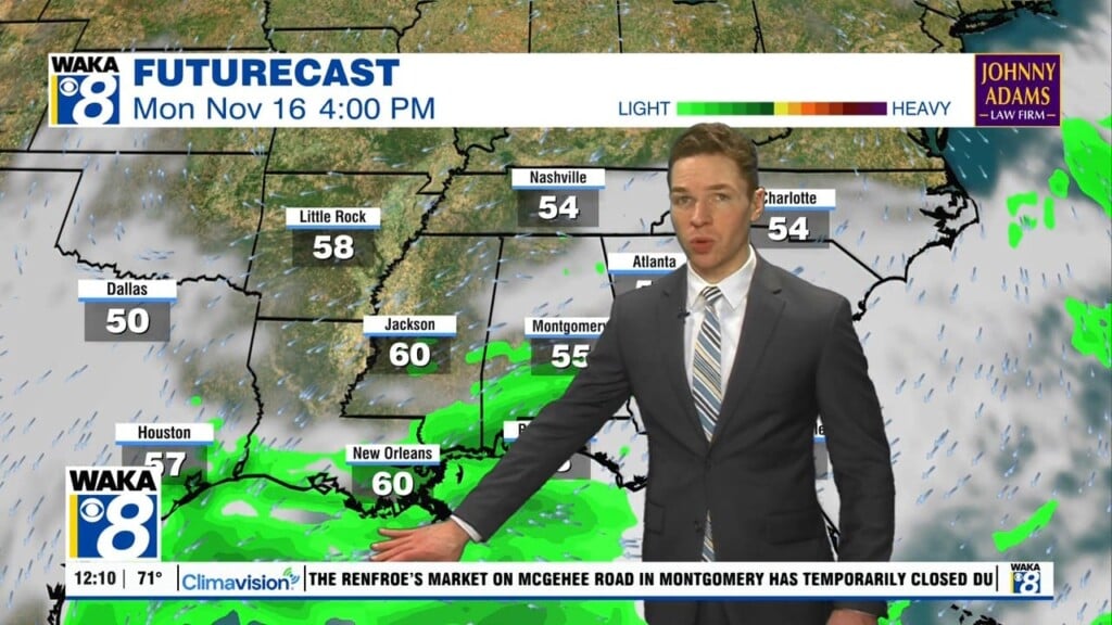
Saturday night lows may also fall to near freezing. Sunday looks partly cloudy and dry with highs in the low to mid 60s. A chance for rain returns Monday, though models remain drier now than earlier in the week. Isolated to scattered showers may drift through our area Monday into Tuesday.