Several More Days Of 70+ Degree Warmth
A disturbance over the eastern gulf will make an exit over Florida and move into the Western Atlantic Friday. We expect our sky to open up with more sunshine and temps will respond. We could reach the mid 70s over the upcoming weekend.
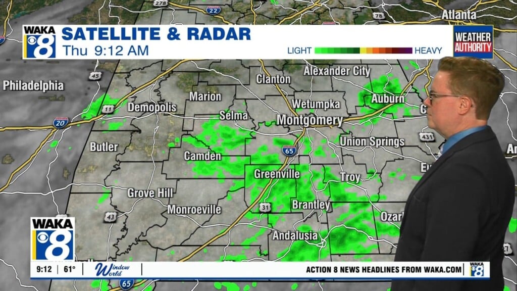
In the meantime, clouds will linger over some areas tonight. Temps will drop into the mid to upper 50s for overnight lows. We’re expecting a partly sunny sky and temps to reach the upper 60s to lower 70s for highs Friday. A shower will be possible across East Alabama with the rest of our area remaining dry.
A frontal boundary will be advancing eastward over the upcoming weekend. Moisture will be limited, therefore rain chances will continue low as the boundary pushes through the area. Temps will manage to reach the lower to mid 70s for highs.
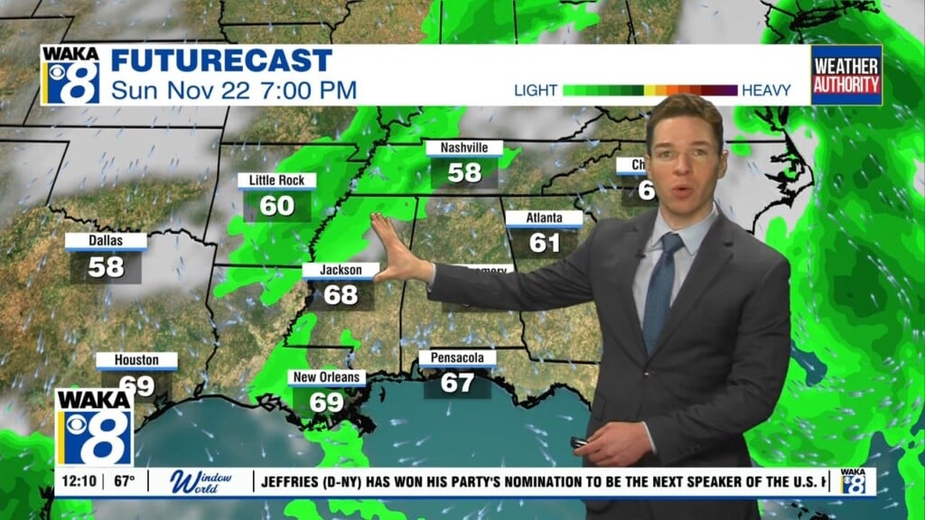
Our next best chance for rain activity will be around Wednesday of next week. That could mean some wet roadways for the big travel day. It looks like that system will depart and we’re mainly dry for Thanksgiving Day. Another rain maker could be setting up for that following weekend. It’s a ways out and changes are likely but we will mention another round of wet travel could be in store for the return trip home.