Strong Storms Later Today, Much Colder to End the Week
A southerly flow is increasing across Central Alabama, thanks in part to a large high pressure center to the east, and a building low pressure center to our west. Showers and thunderstorms will break out around the midday hour across the area as a warm front lifts north. Some of these could pack a punch, but shouldn’t get out of hand. Afternoon highs will be in the mid 60s to low 70s throughout Central Alabama.
As the low lifts to the northeast into Mississippi during the mid-afternoon hours, instability should climb with CAPE values increasing to between 600-1,200 joules/kg, which is certainly sufficient for strong thunderstorm updrafts, and speed shear with winds increasing to 40-50 mph at 5000 feet out of the southwest, which would allow storms to be organized. Supercellular storms will not be out of the question, and with directional shear being strong with southeasterly winds at the surface veering to southwesterly through the lower levels of the atmosphere, a tornado threat will exist.
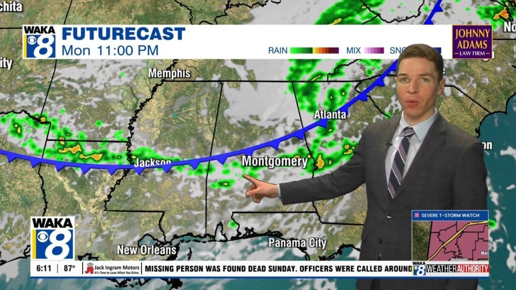
The main window for the severe weather threat will be from 12:00 PM until midnight tonight, but showers and non-severe thunderstorms could form earlier in the late morning hours. The SPC has nearly the entire state in the standard “slight risk” for severe weather, with locations south of US-82 in the “enhanced risk” throughout the day. Scattered severe thunderstorms with damaging straight-line winds and an isolated tornado or two are possible in the slight risk areas, with numerous severe thunderstorms with a strong tornado or two possible in the enhanced risk areas. We’ll keep you posted throughout the day.
REST OF WEEK: Showers will be coming to an end on Tuesday, but it will be mild with highs in the mid 60s to the low 70s. It will turn cooler for Tuesday evening, with lows dropping into the low 40s to low 50s. On Wednesday, skies will be partly to mostly cloudy, and temperatures will struggle to get out of the 40s for much of the area. Highs will be in the mid 40s to the upper 50s throughout the area. Much of the same on Thursday, but even cooler. Highs will be in the low 40s to low 50s.
WEEKEND WEATHER: Clouds will be decreasing for Saturday, but temperatures will be well below average. Highs will be in the low 40s to near 50 degrees throughout the area. Pretty much the same story for Sunday… mostly sunny skies and cold. Highs in the low 40s to near 50 degrees throughout the area.
Be sure to stay connected throughout the day and night follow me on twitter: @Ryan_Stinnett and Like my Facebook Fan Page “Meteorologist Ryan Stinnett.”
Have a great day, and stay weather aware!
Ryan