Rainy Days Ahead
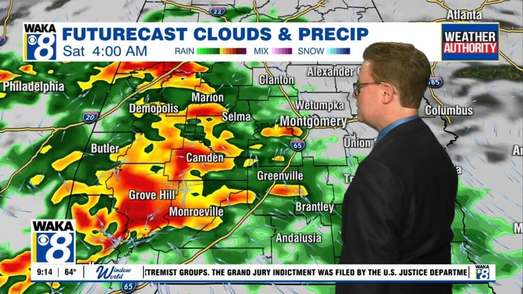
OUR WEATHER: A cold front slipped into Alabama yesterday and stalled just south of the I-20 Corridor. Meanwhile, moisture is surging northward in the envelope of the big cyclonic system in the Gulf of Mexico. This surge will hit the stalled front and light up in heavy showers and storms today, starting by early to mid-afternoon. With high preciptable water amounts, rainfall will be heavy. Not everyone will get heavy rain, but those that do will know it. As the low moves north northwest toward Louisiana, showers and storms will get pulled up into Alabama. With the storm to our west, Alabama will be on the moist side of the circulation and we will see showers Wednesday and Thursday as well.
THREE/CINDY: The disturbance over the Central Gulf of Mexico is close to becoming a Tropical Storm, if it hasn’t already. The system is battling strong wind shear at the jet stream level, which has been shearing the tops of its thunderstorms. That’s no way for a storm to strengthen. Its overall disorganization is working against it also. But warm sea surface temperatures and a vigorous surface low are keeping it in the game. It will continue on a north northwest or northwest track today and will be approaching the Gulf Coast late Wednesday or Thursday morning somewhere between Houston and Morgan City, Louisiana. Tropical storm warnings and watches are in effect along the Louisiana coast.
GULF COAST IMPACTS: Heavy rain will spread ashore today and tonight from Houma, Louisiana to Panama City, Florida. Flash flood watches are in effect for southeastern Louisiana, southern Mississippi, southern Alabama and Northwest Florida. 7-10 inches of rain is expected between now and late Thursday. Tropical storm force winds will begin affecting southeastern Louisiana today and tonight, spreading northwestern into the state over the next 36 hours. Huge waves over the Central gulf will be piling onshore across the Alabama and Northwest Florida coasts today causing extreme rip current danger.
RAINFALL TOTALS: Amounts are expected to be between 3-5 inches for much of the state. Hopefully we won’t have serious flooding problems across Central Alabama.
TROPICAL STORM BRET: Our second tropical storm of the season formed late yesterday afternoon far to the south in the Atlantic, southeast of Trinidad and Tobago, barely off the coast of Guyana. This low track will be its undoing in large part. Bret will hug the coast of Venezuela today, entraining dry air off the South American continent and hastening the system’s demise. It should weaken to a depression later today or tonight and perhaps degenerate into an open wave by tomorrow.
Only three times in recorded Atlantic hurricane history have there been two tropical storms in the basin in June at the same time. It happened in 1909, 1959 and 1968. It is about to happen again. But it had better hurry. One storm is already weakening, and the other is taking its time getting its act together.
Stay dry!
Ryan


