Less Rain And More Heat Close Out July
TODAY:
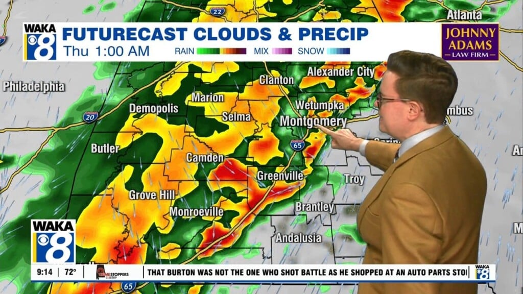
Low hanging clouds and patchy dense fog fill the sky across most of our area this morning. While the sky may feature more clouds than sun today, there won’t be nearly as many showers and storms as Tuesday and Wednesday. High temperatures warm into the low 90s in most locations. This evening and tonight look dry but mostly cloudy, with lows falling into the mid 70s.
FRIDAY:
The last day of July feels like it with high temperatures in the mid 90s for most locations. Expect a mix of sun and clouds with a slightly better chance for afternoon showers and storms. These probably won’t last too long into the evening, with a partly cloudy sky Friday night. Lows fall into the low to mid 70s.
THIS WEEKEND:
The month of August begins with just what you’d expect- highs in the low to mid 90s with scattered daytime showers and storms.
TROPICS:
Isaias finally formed from potential tropical cyclone nine Wednesday evening. It has sustained winds of 60 mph, located just southwest of Puerto Rico. With a general northwest track, it is expected to track over Hispaniola and the Bahamas. Eventually, it nears the southeast U.S. coastline. The latest track from the National Hurricane center keeps the most likely track near the east Florida coast at tropical storm strength. It could curve northeast while hugging the southeast coastline from there, potentially impacting multiple states this weekend through early next week. With the current forecast track, impacts to our area appear minimal to nil. However, we’ll keep a close eye on this storm just in case.