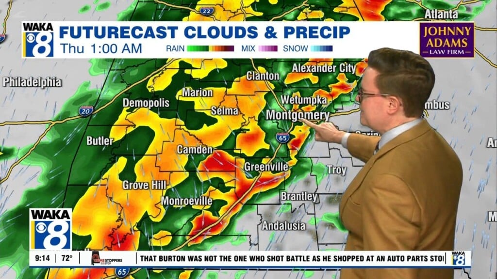
The circulation around T.S. Marco is sending gulf moisture into the state tonight. As a result, we expect periods of rain and storms. A few stronger to possibly severe storms are more likely across our southern most counties. This same area will receive periods steady rain and rainfall potential of 1 to 2 inches is possible. Most all other locations set in for a cloudy and humid overnight period. Rain will move through at times but we don’t expect anything too heavy. We go into Tuesday with abundant tropical moisture in place and with daytime heating more showers and storms move through the area. Sunshine will come into play so temps respond with highs back into the lower 90s. We begin to trend drier Wednesday and Thursday. Temps will continue to manage lower to possibly mid 90s for afternoon highs. Later this week, we see another surge of tropical moisture invading the state. The circulation around T.S. Laura will draw gulf moisture back into the area. The tropical system will be passing to our north but close enough to increase rain and storm chances Friday into Saturday.


