Rain/Storms Return Next Week
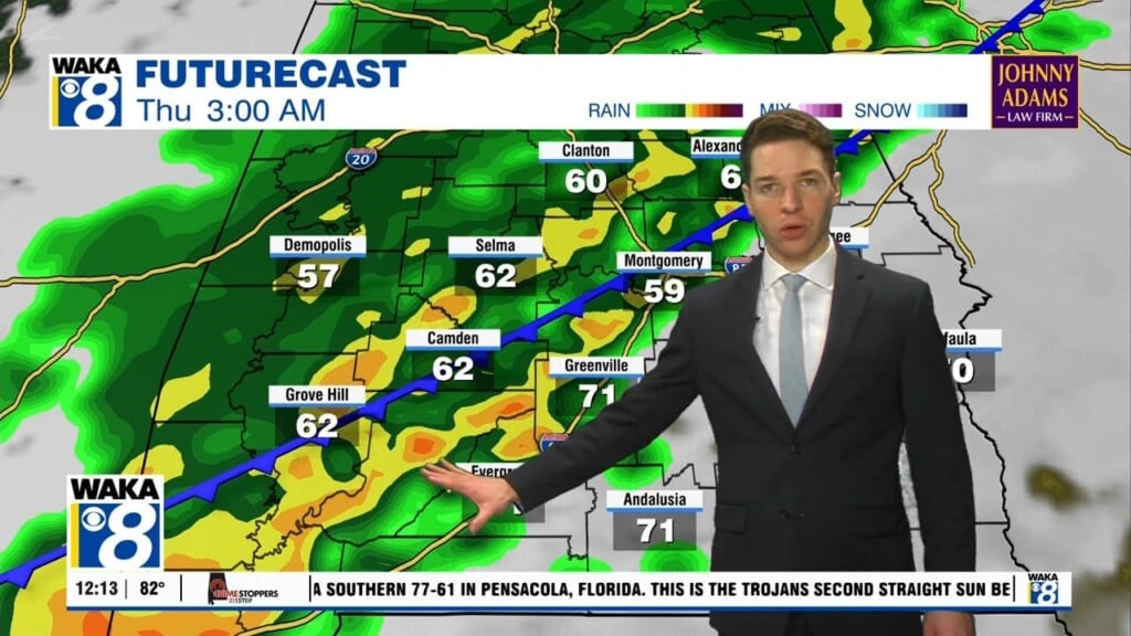
Our mild weather pattern continues through the weekend. High pressure sits east of us and providing an easterly wind flow over the area. We expect clouds to work over us at times but that’s about it. There will be plenty of sunshine both days. Temps respond with highs in the mid to upper 70s. Heading into next week, a frontal boundary moves through the state Sunday night into Monday. It’s a dry front bringing in a little cooler air for Monday night into early Tuesday. We’re in between systems Tuesday but the next frontal system pushes into the area Wednesday. We see a much better chance for rain with this system. Rain and a few storms are likely Wednesday afternoon into the evening hours. The front should push on through and allow for a drier Thanksgiving Day. Temps will continue to be fairly mild with highs hovering around 70 degrees. Looking towards that following weekend, another frontal system will be making its way into the state. We expect another round of rain/storms to work through the area during Saturday. It’s looking more like an active weather pattern for a change.


