Rainy Weather Pattern Ahead
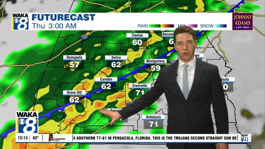
A frontal boundary moves into our area Wednesday. This will be the beginning of a rather active weather pattern that hangs around through the upcoming weekend. Rain and storms are likely with some of the storms strong maybe even severe. The main threats will be damaging wind gust and isolated tornadoes. We expect these threats during the afternoon and evening hours of Wednesday. The frontal tries to push through the state but it stalls somewhere over central or south Alabama Thanksgiving Day. The best chance of rain will be south of the boundary. Areas north of the front stand a better chance of staying dry but turning cooler. We go into Friday and Saturday with the boundary hovering nearby. Disturbance ride along it and keep rain/storms working through the area. A bigger push of rain/storms comes through with an area of low pressure and trailing cold front Sunday. There could be a few strong storms with this system as well. All the rainy conditions shift east of us Monday and this allows some of the coldest air this fall to spill into the state. Daytime highs only manage the lower 50s and lows are down in the lower 30s early next week.


