Active Weather Pattern Through Early Next Week!
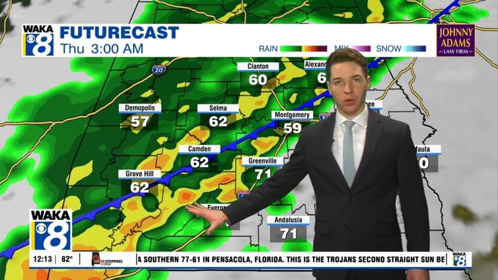
Our current weather pattern will remain active right through the upcoming weekend. We expect a few more rounds of rain and storms then a blast of much colder air heading into next week. In the mean time, a cold front has stalled to our south but will act as the focal point for more rain activity. We should see an area of rain/storms move through south Alabama overnight. There will be a break in the rain activity through the late morning and early afternoon hours Friday. Another round of rain/storms moves into the area Friday evening and continues into the overnight hours. Most of the rain should have moved east into Georgia early Saturday. This will allow most of your Saturday to be rainfree. The next system heads our way late Saturday night and works across the state Sunday. You can expect a rainy day with possibly a few rumbles at times. We get this rain maker out of the way and then brace for a blast of much colder air moving in Monday and lingering into midweek. This will be some of the coldest air so far this fall. Lows will be in the mid to upper 20s both Tuesday and Wednesday morning!


