An Active Weather Pattern
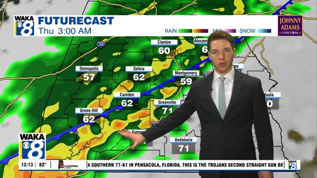
An active weather pattern moves in and sticks around through early next week. We get a couple rounds of rain during this period. The first moves through with showers and maybe a storm or two Saturday. This system departs and we’re in between systems most of Sunday. The second one comes through with mainly rain Sunday night into early Monday. Rainfall amounts look to be under an inch with both systems. Colder/drier air spills into the area as the clouds and rain depart. We’re down into the upper 30s to lower 40s for lows Monday and Tuesday night. Tuesday is a dry day for us but another quick moving system will clip us Tuesday night into Wednesday. A few showers will be possible but most spots continue dry. The air behind this system is colder and temps drop back into the 30s for lows. Daytime highs will hover in the upper 50s to around 60 degrees. At this point, the latter half of next week is trending sunny and dry. Temps should stay very close to average for this time of the year.


