Warmer Days Ahead
WARMER WEDNESDAY: After the freezing start to the day, we will again see a day full of sunshine and it will be a bit warmer. Highs today will be in the mid and upper 50s.
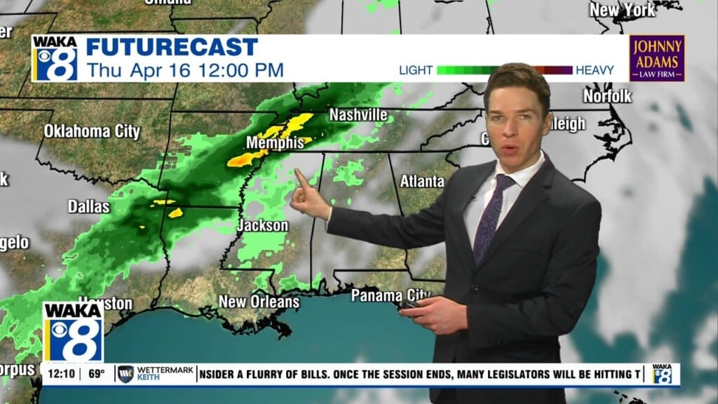
RAIN RETURNS: Thursday will be dry but an approaching cold front will cause clouds to increase through the day and highs surge into the mid 60s. That front will bring rain to the state late Thursday night into Friday morning, with rain amounts less than 1/2 inch expected, and no severe storms, and likely no thunder. The rain ends early in the day Friday as the front pushes down to the Gulf Coast. Friday should feature a clearing sky with seasonable temps as high will be in the mid and upper 50s.
SATURDAY WEATHER: Saturday will start off dry with a mix of sun and clouds and highs in the upper 50s. However, a wave of low pressure will develop and track along the front to the south, which will produce clouds and showers for areas of South Alabama and the Gulf Coast. This moisture will spread north late Saturday night and some areas of rain are likely statewide after midnight Saturday and into early Sunday morning, again no threat of severe weather.
BIG FORECAST CHANGES FOR WEEKEND: The Arctic air invasion we anticipated will still occur as the coldest air of the winter flows into the United States, however, this air mass will slide east instead of south, so Alabama will be spared this go round as this bitterly cold air mass stays north and east of the state. So for now, we are completely changing the forecast for Sunday and Monday. Sunday will start off with areas of rain, but we should see the rain end by the afternoon with highs in the mid 50s. Monday morning will see lows in the mid 30s, much better than the low and mid 20s we expected. Monday afternoon will feature more sun than clouds with highs around 60°.
REST OF NEXT WEEK: Lots of model madness for the rest of next week, so forecast confidence is very low. For now, it appears another front will sag south into the state by midweek, and behind it a colder air mass will gradually flow into the state with each day being a bit colder than the previous one. Highs Tuesday should be in the upper 50s, followed by lower 50s Wednesday.
Enjoy this Whimsical Wednesday!!!
Ryan