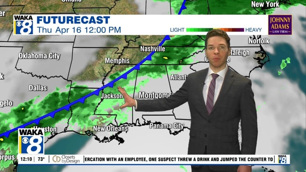
Rain Has Returned
A cold front brought rain back to the state overnight, and it continues for the southern half of the state to start our Friday. Rain amounts have been less than 1/2 inch. The rain will end through the morning hours as the front sinks into the northern Gulf and stalls. Rain and clouds remain in the forecast for South Alabama today. For Central Alabama, we should see a mix of sun and clouds and cooler temperatures with highs in the mid and upper 50s.
WEEKEND WEATHER: Saturday will start off dry, but a wave of low pressure forms along the front and it will cause clouds and rain to spread back north across the state with widespread rain expected for much of the area by midday and into the afternoon and evening hours. Rain amounts should be around 1/2 inch. Most of the rain comes to an end early Sunday with the sky becoming partly sunny as drier air works into the state. Highs Sunday should be in the upper 50s and lower 60s.
MONDAY: The weather looks great to start the week as Monday will be dry, with plenty of sun, and highs in the mid 60s. After Monday, the forecast confidences decreases greatly…
MODEL MADNESS NEXT WEEK: The coldest air so far this winter moves into the U.S. this weekend and settles into the Midwest and Great Lakes. It doesn’t immediately come south, but it will be close enough that at some point it will start to slowly slide south and could mean trouble for the Deep South late next week.
Highs Tuesday should be in the upper 60s and it looks like we could be seeing some rain across the area. The colder air then begins to start the southward trek and should begin to enter North Alabama Wednesday. For us in Central and South Alabama, it will remain mild with highs in the mid 60s, but again areas of rain are expected.
For the end of next week and into the weekend, the models are advertising winter weather mischief for Alabama as the colder air continues to sink south. We are going to see another wave of energy moves across the state, causing moisture to surge north from the Gulf and overrun the shallow cold air in place. This is a more typical winter weather scenario for Alabama and can produce all sorts of issues. The biggest problem is usually freezing rain event instead of snow. Freezing rain is simply rain that falls in liquid form when surface temperatures are below 32 degrees, then freezes on contact, causing those dangerous ice accumulations in stead of snow. Of course, this possibility is still 7-8 days out and could completely gone in future model runs…it is simply something to watch for now and of course, stay tuned for updates in the coming days, but experience tells me, with cold air and moisture so close to each other, somewhere in Alabama is going to have winter weather issues…only time will tell.
Also for the following weekend, Feb. 13-14, the models show the bitterly cold Arctic air finally pushing south, all the way to the Gulf Coast, which would mean the coldest air in a few years for Alabama.
Stay tuned and enjoy this Friday over endless Hope!!!
Ryan