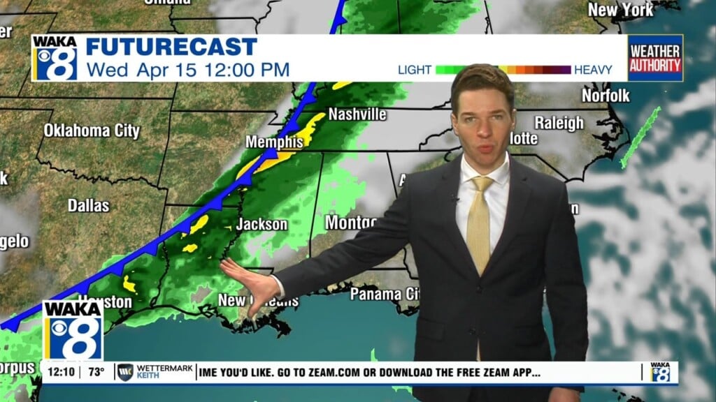
Meandering Front Through the Weekend
A weak front is sinking south through the state and is allowing for more clouds and the chance for a few isolated showers, but nothing heavy or widespread, and most locations will stay dry. Most of today will feature a mix of sun and clouds with highs in the low to mid 70s. Rain becomes more widespread across the state tonight and Friday as a wave of energy moves through the state along the frontal boundary. There could be a rumble of thunder in spots, but no severe storms, and the best chance of rain will be over the northern half of the state. Highs tomorrow will be in the upper 50s for the northern half of the state, while low 70s are expected over the southern half of the state, south of the front.
WEEKEND WEATHER: The front will meander back north by Saturday and stall across the Tennessee Valley. Most of the state will be south of the front, and that will allow for very mild temperatures both days with highs in the 70s for most locations, with even some 80s possible. Rain chances will be pretty high near and north of the front, where several inches of rain will be possible across Far North Alabama. For the rest of us, it will be a warm and moist air mass which will allow for more clouds than sunshine, with scattered showers possible at times, but not a weekend “wash-out”.
ROLLING INTO MARCH: Not much change in the pattern as we roll into next week, as the location of the meandering front we determine our forecast. For now, we will keep more clouds than sunshine in the forecast each day with scattered showers possible as well. Temperature should remain mild with highs generally in the 60s and 70s.
Be blessed and highly favored today!!!
Ryan