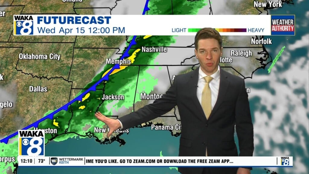
Showers Possible; Near-Record Weekend Warmth
For the most part, our Friday will be another pretty decent day of weather for Central and South Alabama, while it is wet and stormy for North Alabama, along a stalled frontal boundary. For many of us today, we will see a mix of sun and clouds with highs in the mid to upper 70s. Some scattered showers are possible today as well, but again, the most widespread rain is across North Alabama.
WEEKEND WEATHER: The front will hold in place over the Tennessee Valley of the state, and that means North Alabama, Tennessee, and Arkansas will experience periods of heavy rainfall at times over the weekend. South of the front, both Saturday and Sunday will feature more clouds than sun with scattered showers at times, but certainly no weekend “washout”. This is also shaping up to be the warmest weekend of 2021 so far across much of the state, with highs both days in the upper 70s and low 80s an in fact, near-record warmth is possible as highs surge into the low 80s. Here are the record highs for Montgomery this weekend…

ROLLING INTO MARCH: Not much change in the pattern as the meandering front will keep more clouds than sun, and the chance for rain each day. The weather will stay mild with highs generally in the 60s and 70s most days. We do note, the European global model hints that strong, possibly severe thunderstorms could become an issue Tuesday, but this remains too far our and forecast confidence remains low. It is just a reminded that it is the season for severe storms as we will be entering the heart of our spring severe weather season of March, April, and May.
Have a Happy Friday!!!
Ryan