Hot Weather Arrives this Weekend; More Tropical Mischief
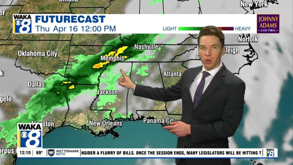
HEAT LEVELS ON THE RISE: The upper ridge is intensifying across the Deep South, meaning continued dry weather and rising temperatures. Today will feature a mostly sunny sky with highs in the upper 80s, with a few low 90s down to the south. It remains breezy with persistent easterly winds of 10-20 mph, with higher gusts.
90S RETURN THIS WEEKEND: The weather stays dry and we are forecasting a good supply of sunshine both Saturday and Sunday. The first widespread 90s of the year will return to Alabama as most of Alabama will see highs in the low to mid 90s both days.
TROPICAL MISCHIEF: Though hurricane season officially begins, June 1st, we are already seeing two areas of concern.

1. A non-tropical low pressure area located about 500 miles east-northeast of Bermuda is producing winds to storm force and disorganized showers and thunderstorms. The low is expected to move west-southwestward over warmer waters during the next day or so, and it will likely become a subtropical cyclone later today or on Saturday near or to the northeast of Bermuda. Thereafter, the low is forecast to move northeastward into a more hostile environment by Saturday night or Sunday. Formation chance through 5 days…high…80 percent.
2. A surface trough and a mid- to upper-level disturbance over the western Gulf of Mexico are producing disorganized showers and thunderstorms. Environmental conditions are expected to be marginally conducive for development before the disturbance moves inland over the northwestern Gulf coast tonight. Regardless of development, the system could produce heavy rainfall over portions of southeastern Texas and southwestern Louisiana during the next few days. Formation chance through 5 days…low…20 percent.
If these two storms develop, they would be Ana and Bill.
CLOSE TO RECORD HEAT NEXT WEEK: The ridge holds in place across the Deep South, which will cause afternoon highs to climb into the mid-90s for many locations, which will be very close to records for this time of year. We will be looking for heat relief in the form of showers and storms, but with sinking air due to ridge and limited moisture levels, these will not materialize over Alabama. It looks like it may be sometime Memorial Day Weekend (May 29th-May 31st) before any chance of meaningful rainfall returns to Alabama, but even then, it doesn’t look too promising. The only good we can talk about is the relatively low humidity levels; with limited moisture, though it will be hot, it will not be oppressive and heat index values will not be an issue and the nights and evening will be fairly comfortable.
Try and bless someone today!!!
Ryan