Periods Of Rain And Storms Likely This Week
A very active weather pattern will continue for our area this week. Numerous rounds of rain and storms will work across the state. Some of the storms will be strong to possibly severe at times. The main threats will be damaging winds and hail.
The round moving through south Alabama this evening will produce frequent lightning, heavy downpours, and strong winds. A severe t-storm watch is in effect for south Alabama until 8pm. We expect a few weaker showers or storms linger maybe a few hours after the watch expiration. The rest of the overnight period is looking partly cloudy with temps dropping into the upper 60s for lows.
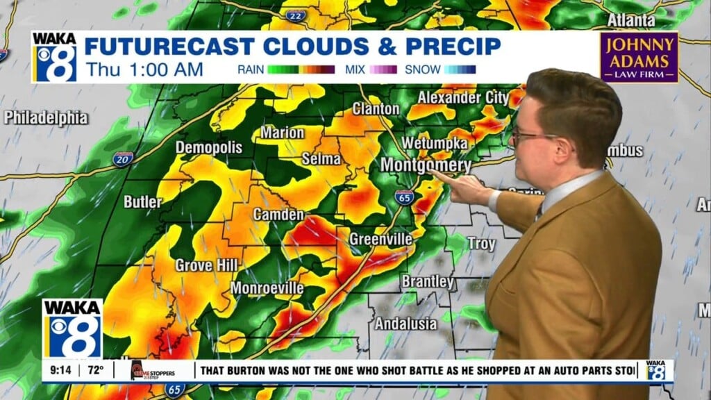
Another round of storms heads into the area Tuesday. Some of these could be strong to severe as they move south and eastward across the state. The main threats will again be damaging winds and hail. Wednesday is looking very similar with the storms working through the area as well. More storms are possible Thursday but we may see a slight break in the action Friday. Temps during the work week period will manage upper 80s to lower 90s for highs and lows hovering in the upper 60s to lower 70s.
The upcoming weekend is showing signs of hot and humid conditions along with scattered showers and storms. Highs will creep up just a bit with lower 90s likely. Longer range data showing that heat and humidity settling in and continuing into that following work week.