Strong to Severe Storms Likely Today, Wed. and Thursday
Yesterday’s cold front has now stalled as expected over the area and that will cause very unsettled weather for the next several days.

For today, a 2/5 Slight Risk for severe storms is in place for all of our viewing area. The primary threats are damaging winds up to 70mph and the chance for large, significant hail. The tornado threat is low but it is not zero, so be sure to stay weather aware. Rain and storms will likely be arriving in the late morning hours and persisting into the mid afternoon hours with highs reaching the mid 80s.

For tomorrow, a 3/5 Enhanced Risk for severe weather is in place but the severe risk appears a bit greater. Large hail could be a major problem. Once again the tornado threat is low but not zero. Damaging winds will also likely be a problem.
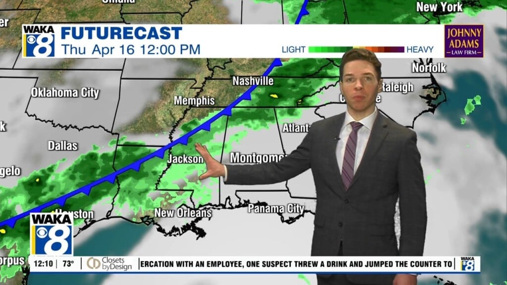
There is a severe threat on Thursday but so far it is only a 1/5 Marginal Risk. The same threats exists. Be sure to have multiple reliable ways to receive warnings, know where you’re going to go for shelter, and be sure your cell phone batteries are charged as lightning and power outages are all likely scenarios.