70+ Degree Warmth Is Heading Our Way
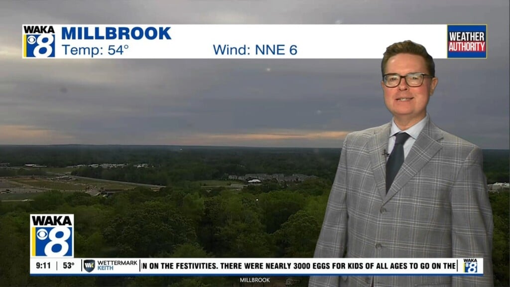
Colder air continues to spill into the state and we have another cold night ahead. Looks like a nice recovery with temps warming into the mid 60s Friday afternoon. More cold air is lined up to move in here Saturday but it’s short lived as southerly winds return and we’re warming going into next week.
In the meantime, we expect a clear sky with temps dropping into the upper 20s to lower 30s overnight. Abundant sunshine and westerly breezes will allow temps to warm into the mid 60s during the afternoon hours Friday.
Upcoming weekend won’t be anything like what we just experienced. A shot of colder air will push into the area Saturday. Temps start out in the mid to upper 30s that morning. A mainly sunny sky will try to warm us but northerly winds will usher in chilly air. Temps will only climb into the mid 50s for highs Saturday afternoon. Sunday will begin with temps in the upper 20s to lower 30s but rebound into the mid 60s that afternoon.
Next week is looking warmer through midweek. High pressure will be over us and provide lots of sunshine and temps will respond. We’re expecting temps in the upper 60s and even lower 70s going into the middle of the week. Moisture will be on the increase and we could see showers around the area by Wednesday. Some rain activity may stick around for the latter half of the week as well.