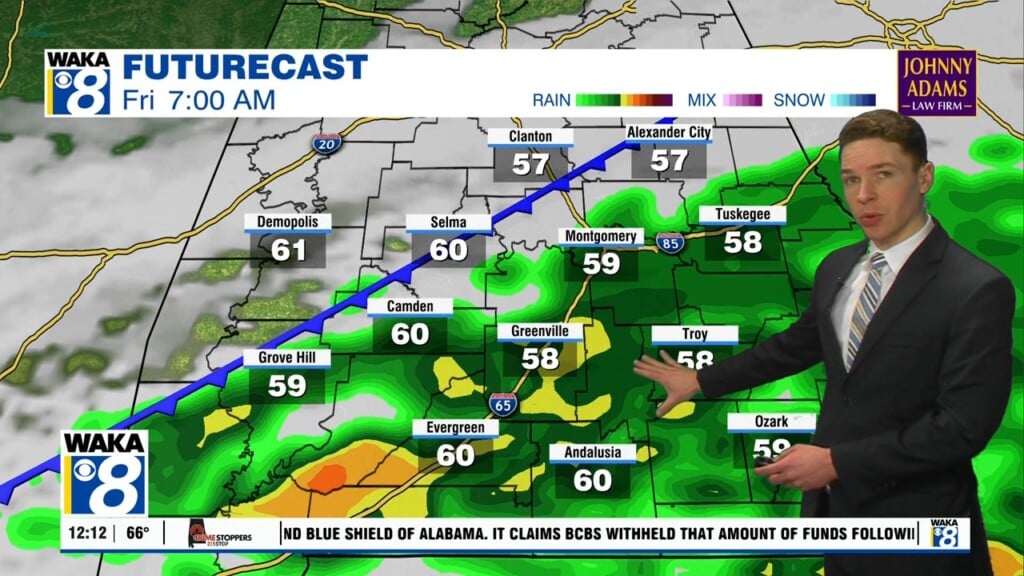
Rain And Thunderstorms Likely Overnight
A frontal boundary is working its way southward and helping to trigger rain and t-storms. Most of the heavy rain activity will come through late tonight into early Friday. The rain will move out just in time for the upcoming weekend. Sunshine returns and temps warm back into the mid to upper 70s both Saturday and Sunday. The warming trend will continue into next week.
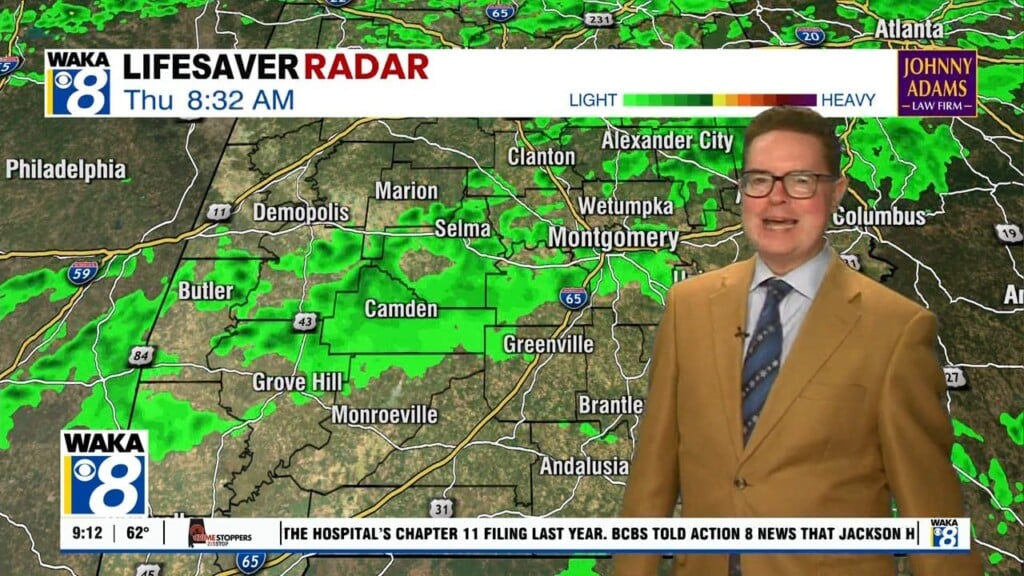
In the meantime, we’re expecting rain and thunderstorms to pass through our area tonight. There will be periods of heavy rainfall. A few storms could be strong with gusty winds. At this point, we don’t see anything significant but we’re keeping an eye on it. Rainfall potential will range between 1 to 2 inches.
High pressure will return just in time for the upcoming weekend. This system will provide us more sunshine and mild temps. High temps will be in the 70s and lows in the 50s both Saturday and Sunday. We see the spring-like warmth continuing through all of next week.