Warm days and cool nights, sunshine, no rain through this weekend
Wednesday morning was partly to mostly sunny and somewhat cool again around sunrise. Low temperatures were in the 40s across central and south Alabama. However, temperatures were back in the low 70s by midday. A brisk east wind of 10 to 20 mph continues Wednesday afternoon. Otherwise, the sky remains partly cloudy with high temperatures in the mid to upper 70s. Wednesday night looks partly cloudy to mostly clear with lows near 50°.
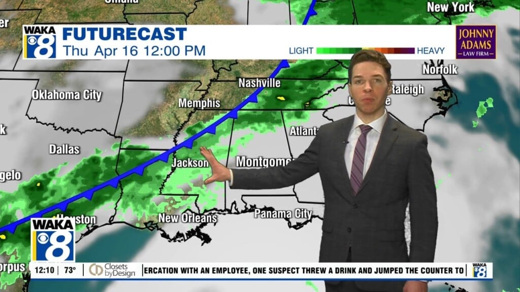
Thursday looks mostly sunny and seasonable with high temperatures in the upper 70s. Thursday night looks seasonably cool, with lows near 50°. Friday looks partly to mostly sunny and warmer with highs near 80°. Our pleasant spring weather pattern continues this weekend. Saturday and Sunday look partly to mostly sunny. High temperatures range from the low to mid 80s Saturday. Afternoon temperatures peak in the mid 80s Sunday.
Next week begins dry, but humidity rises at least a little Monday and Tuesday. Otherwise, both days look partly cloudy with high temperatures in the mid 80s. Longer-range models still show a cold front at least approaching the southeast around the middle of next week. However, they still showing that front stalling northwest of our area. That may result in only very spotty showers across central and south Alabama Wednesday into Thursday.