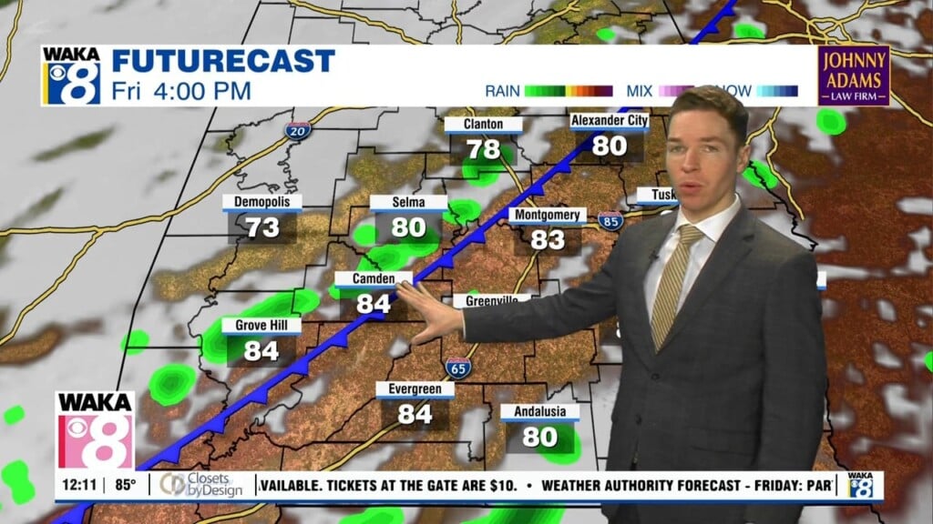
Widespread clouds, higher rain chances, lower heat early this week
After many consecutive sunny mornings in central and south Alabama, Monday began with an overcast sky. Monday afternoon remains at least mostly cloudy. That keeps the heat at bay, with high temperatures in the mid to upper 80s at most. Meanwhile, the coverage of showers and storms remains elevated Monday, with scattered to numerous showers and storms. Rain lingers into the evening, but gradually fades away Monday night.
The sky remains mostly cloudy, with lows in the low to mid 70s. Tuesday looks mostly cloudy with scattered to numerous showers and storms. That holds high temperatures in the mid to upper 80s again. Our weather pattern trends drier for the rest of the week. However, isolated to widely scattered showers and storms remain possible. Outside of rain, more sunshine results in hotter weather. High temperatures range from the low to mid 90s Wednesday through Friday.
Rain coverage remains isolated to widely scattered this weekend. Meanwhile, high temperatures may be in the mid 90s for most locations Saturday and Sunday. A routine summer weather pattern continues next week, with isolated to widely scattered showers and storms Monday through Wednesday. Otherwise, temperatures remain seasonably hot with highs in the low 90s.