Heat index values up to 110° Tuesday, then less hot through Friday
Tuesday morning was dry with sunshine. As a result, temperatures were in the low 90s with heat indices over 100° by midday. A heat advisory continues through at least Tuesday evening. Temperatures reach the upper 90s Tuesday afternoon, while peak heat indices could be near 110°. Very few showers or storms Tuesday afternoon, so many locations remain very hot for the rest of the day. Tuesday night lows only fall into the upper 70s with a partly cloudy sky.
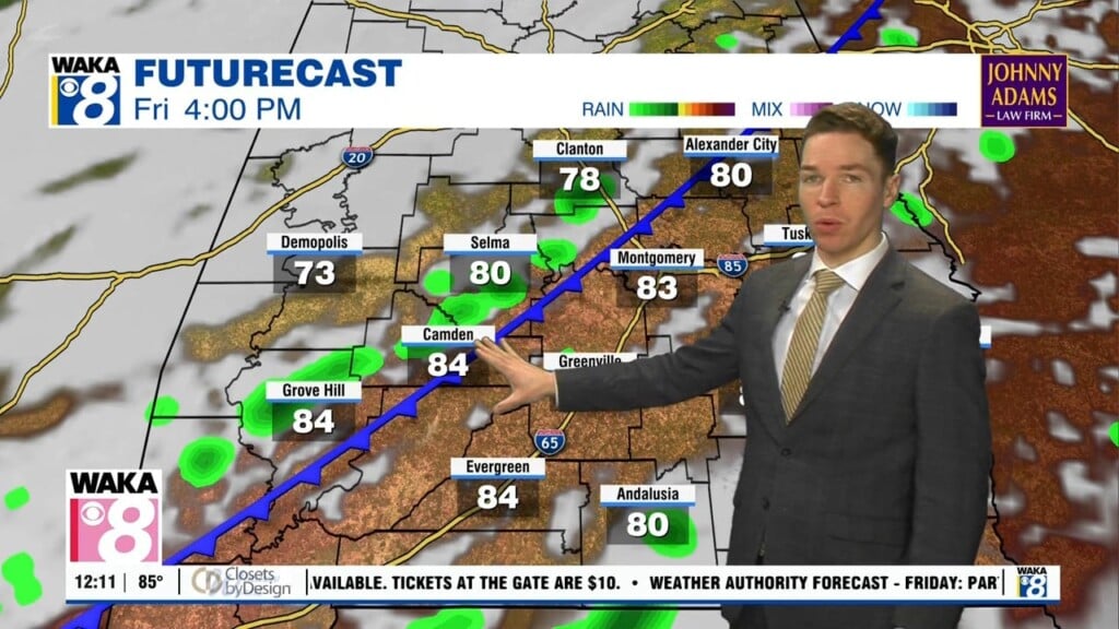
Fortunately, the rest of this week looks less hot. However, high temperatures still reach the mid 90s Wednesday and Thursday. A somewhat rare summer cold front arrives in our area Wednesday. Widely scattered showers and storms form along the front Wednesday afternoon. Wednesday night trends drier as the front pushes through most of our area, stalling near the Alabama/Florida state line.
The air behind the front could be a bit drier, resulting in fewer showers and storms Thursday and Friday. Meanwhile, temperatures still reach the mid 90s Thursday afternoon. However, high temperatures may only be in the low 90s Friday. Another front approaches from the west this weekend. While it likely fizzles out west of our area, it looks like rain coverage rises in Alabama Saturday and Sunday. Additionally, high temperatures remain in the low 90s as August begins.