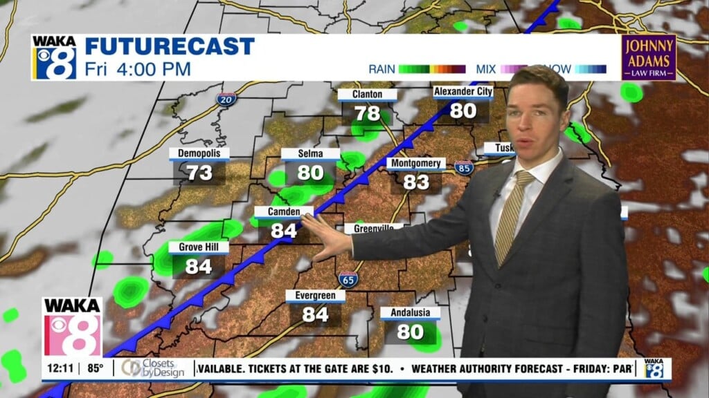
Mid-90° heat through Friday; Better weekend rain chances, less hot
The rest of July remains very hot and humid across central and south Alabama. However, peak heat index values remains slightly lower Thursday compared to the first few days of the week. Therefore, our area was not included in a heat advisory Thursday. Although, heat indices may still approach 105° during the afternoon. Additionally, rain coverage remains isolated Thursday afternoon/evening, limited to mainly far south Alabama.
A few storms may become strong to severe Thursday afternoon/evening, capable of damaging wind gusts, mainly near highway 84. Many locations may remain hot and dry for the rest of the day, with a partly cloudy sky and high temperatures in the mid 90s. Rain tapers off Thursday night while the sky becomes partly cloudy with low temperatures in the mid 70s.

MARGINAL (level 1/5) severe risk Thursday 7/30/26
Friday looks partly cloudy and very hot with just isolated showers and storms, mainly south again. High temperatures may be in the mid 90s with heat indices approaching 105° in many locations. However, the weekend looks less hot due mainly to increased chances for showers/storms. Another cold front approaches from the west Saturday, but it looks unlikely to bring cooler or drier air to Alabama.
However, the higher rain coverage Saturday and Sunday results in high temperatures mainly in the low 90s each day. The front fizzles out across the southeast next week, but chances for showers/storms remain slightly elevated through Wednesday. That holds high temperatures in the low 90s those days. However, our area may trend drier late next week, with high temperatures trending back into the mid 90s Thursday and Friday.