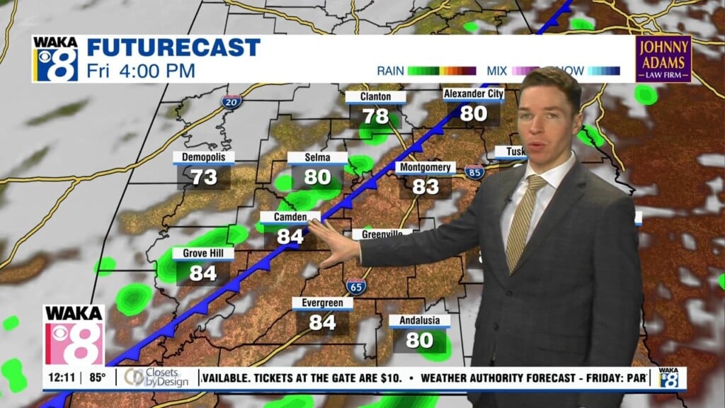
Not-as-hot for the first full week of August despite low rain chances
A rare summer cold front moved through our area over the weekend. The front was stalling just east of our area early Monday morning. Temperatures fell into the upper 60s to low 70s early Monday morning. That was close to or even more than 10° cooler in many locations than early Sunday morning. Monday looks partly cloudy with high temperatures in the upper 80s to low 90s. Despite lower humidity, isolated showers and storms form in our area during the afternoon.
The sky becomes mostly clear Monday night with lows near 70° again. High temperatures stay in the low 90s Tuesday despite afternoon showers/storms remaining isolated. High temperatures may trend back into the mid 90s Wednesday and Thursday. Rain coverage remains isolated for the rest of the week. This weekend’s weather looks similar, with high temperatures in the low 90s and isolated showers/storms Saturday and Sunday.