February Thaw Continues For Now
The spring-like warmth just keeps on coming and it could stick around well into next week! The cold air remains cut off to the north and we’re expecting near 80 degree high temps at times. Colder air will return but it may be a while longer.
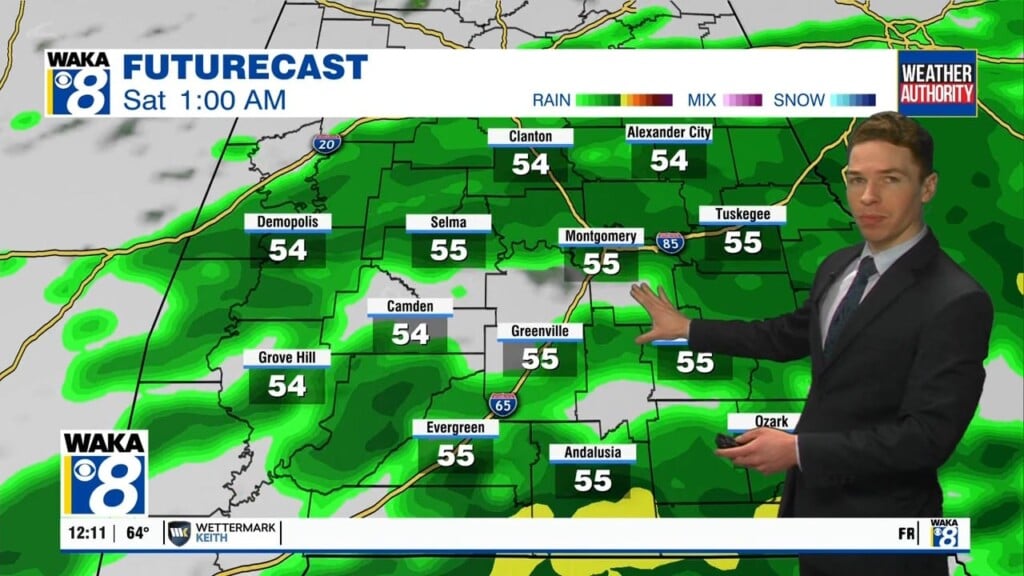
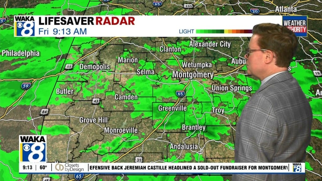
In the meantime, high pressure will be sitting to the south and east of us for several days. The winds around it will provide us a southerly breeze and that will allow the air mass to warm throughout the week. A few spots could snag the 80 degree mark at some point. We do see a frontal boundary trying to make a run at us late week but it never makes it through here. It will be close enough to possibly trigger a few showers Thursday and Friday.
Over the weekend, the frontal boundary will push much farther northward Saturday. We’re expecting a mainly sunny and warm day. Temps could even go a few degrees beyond 80. A secondary front will make a much stronger push into the area Sunday into Monday. Another round of showers will be possible and it looks like this front will push all the way through here. Temps should decrease a bit and fall into the lower to mid 70s for highs most of next week.
The weather pattern is setting up to be more active and we could see rain and storms along with a return to slightly cooler conditions Wednesday into Thursday. Daytime highs will return the upper 60s to lower 70s and overnight lows down in the upper 40s to lower 50s again.


