Warm Friday, cooler this weekend, minimal rain chances next week
Thursday was a partly to mostly sunny and warm day with high temperatures in the low 80s in most locations. Thursday evening remains mainly clear and dry with temperatures in the 70s for the most part. Temperatures eventually cool into the upper 50s to low 60s Thursday night. Lows clouds and fog may form after midnight through early Friday morning.
Low clouds/fog mix out by Friday afternoon. Temperatures warm into the low to mid 80s with a partly to mostly sunny sky. Another cold front arrives Friday night. The front brings no rain, but clouds may increase a bit as it moves through our area. Temperatures cool into the 50s early Saturday morning. North to northeast winds help hold high temperatures in the low 70s Saturday with a mostly sunny sky. Saturday night looks mainly clear with lows in the 40s.
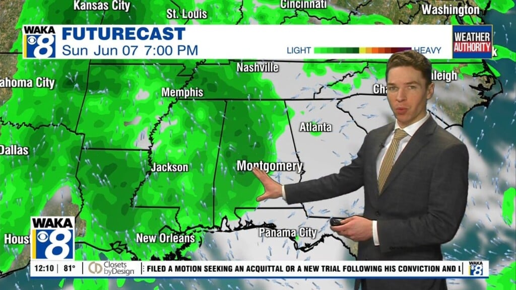
Sunday looks partly to mostly sunny and seasonable with high temperatures in the mid 70s. It now looks like minimal chances for rain *could* return for the last couple days of March and first few days of April. However, longer range models still disagree on that scenario. One of the models also shows a cold front arriving next weekend, which may increase our chances for rain. Otherwise, temperatures trend warmer next week with highs in the mid 80s by Wednesday.
Click here for local news.