A Decent Chance For Some Needed Rain This Week
We have a decent chance to pick up some much needed rain throughout the week. Several waves bringing showers and t-storms will pass through here. There is the possibility some storms could be strong and maybe severe.
The first in a series of disturbances will move into the area late tonight. Showers and t-storms will pass mainly through our northern counties. We don’t expect any of these storms to be severe. The rest of the area will be partly to mostly cloudy with temps dropping into the mid 60s for lows.
Most of Tuesday will be partly sunny and warm with temps in the mid 80s for highs. Another wave of showers and t-storms will approach and pass through the area overnight. Some of these storms could be strong to severe. The man threats will be damaging winds and hail. The tornado threat is low but not zero.
We head into Wednesday with a low risk for strong to severe storms. The main threats will be damaging wind gust and hail. The timing will be roughly late afternoon into the evening hours.
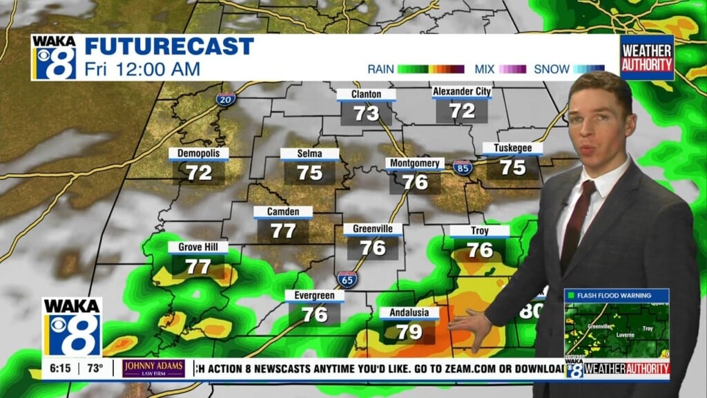
A boundary will sit south of our state Thursday and Friday. It will be close enough for additional waves to move along it and keep a chance for showers and t-storms across our area. The cloud and rain activity will help hold temps down and we’re expecting highs only in the 70s.
The upcoming weekend will be split with the better chance for rain Saturday and less for Sunday. Temps will continue in the 70s for highs and overnight temps will fall into the 40s for lows. It’s looking like a sunny and drier weather pattern setting up for early next week.
Click here for more news from WAKA.