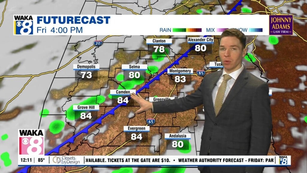
Rounds of showers/storms this week, flood watch through Tuesday
The wet weather pattern in central and south Alabama continues this week. In fact, heavy rain Memorial Day and Tuesday may lead to localized flooding. A flood watch begins 10 AM Monday and continues through 10PM Tuesday for part of our area. Rain totals range from 1-2″, with locally higher amounts of 3-4″. Monday morning was mainly cloudy but mainly dry at sunrise. However, shower and storm coverage becomes scattered to numerous during the day.
Additionally, the storm prediction center introduced a MARGINAL (level 1/5) severe risk for southwest Alabama Monday. A brief tornado may occur due to a spinning feature tracking north near the MS/AL state line. Otherwise, the sky remains mostly cloudy Memorial Day, with high temperatures in the low to mid 80s before cooling rain arrives. Rain coverage decreases after sunset, but the sky remains mainly cloudy Monday night, with lows near 70°.
Scattered to numerous showers and storms form again Tuesday. Otherwise, the sky likely remains mostly cloudy with highs in the low to mid 80s. Chances for rain remain elevated for the rest of the week, with scattered to numerous showers and storms Wednesday through Friday. Some sunshine in rain-free locations may allow temperatures to warm into the upper 80s to 90° during the latter half of the week.
Rain chances remain high Saturday, but may fall some Sunday. It looks like a front may finally swing through and south of our area late this weekend or early next week. With winds turning north to northeast, drier air moves into central and south Alabama. That results in very low chances for rain, and slightly cooler temperatures as June begins next week.
Click here for more news from WAKA.