Still hot and humid, but better chances for cooling rain this weekend
Friday was another hot and humid day across central and south Alabama. High temperatures ranged from around 91-93°. Meanwhile, peak heat indices were on either side of 100°. Similar to Wednesday and Thursday, cooling showers and storms were few and far between. The few that formed Friday afternoon fade away quickly Friday evening. Friday night looks partly cloudy with lows in the mid 70s.
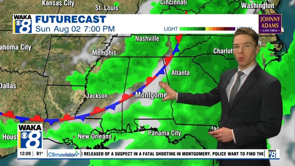
Our weekend weather still looks hot and humid. However, chances for cooling afternoon/evening showers/storms look higher Saturday and Sunday. Although, temperatures likely surge into the low and mid 90s before cooling rain arrives. Meanwhile, heat index values may peak near 100° again. Additionally, rain coverage looks scattered both Saturday and Sunday. That means some locations may not get rain either Saturday or Sunday, or even both days.
Chances for rain remain elevated early next week, as a cold front approaches our area Sunday night. As usual by mid-June, the front loses forward speed and ultimately stalls across the southeast early next week. While our area remains warm and humid as a result, the stalling front provides a focus for showers and storms. Scattered to numerous showers and storms appear possible in our area Monday and Tuesday.
Higher rain and cloud coverage early next week results in cooler temperatures. High temperatures range from the mid to upper 80s Monday through Wednesday. Because humidity lingers across our area next week, shower and storm coverage likely remains scattered late next week. Although, our area may trend a bit drier Father’s Day weekend. As a result, high temperatures may be near 90° again next weekend.