Tornado risk winding down, flooding still possible Thursday evening
The remnant circulation of tropical storm Arthur brought widespread heavy rain and storms to central and south Alabama Thursday. Fortunately, the tornado watch was cancelled early for counties in our area east of I-65. The main weather hazard for the rest of Thursday evening now shifts to more heavy rain. That may lead to additional flash flooding, or worsen ongoing flooding.
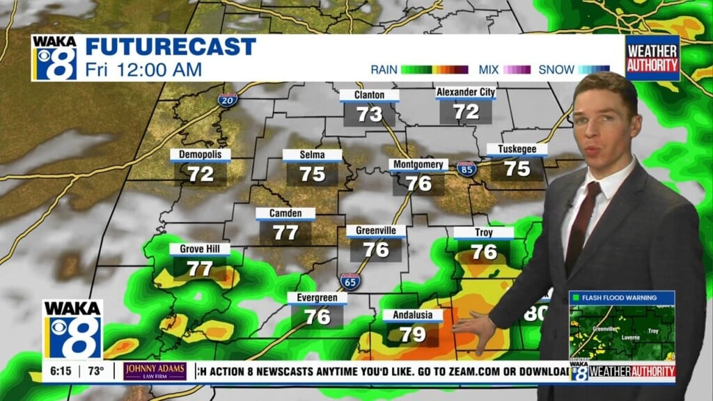
The highest risk for flooding may be on either side of highway 84 through Thursday night, as additional heavy rain and storms develop along a boundary. Otherwise, Thursday night looks mainly cloudy with lows in the mid 70s. The mentioned boundary may be the focus for more shower and storm develop on Friday. A flood watch remains in effect for our entire area through Friday evening.
A few storms may become severe Friday, capable mainly of damaging wind gusts. Otherwise, Friday looks partly to mostly cloudy with high temperatures in the mid to upper 80s. Showers/storms linger into Friday evening, but fade away Friday night. However, scattered storms re-develop Saturday and Sunday. Our weather pattern looks a bit more routine for June on Father’s Day weekend, as most storms occur during the afternoon with high temperatures near 90°.