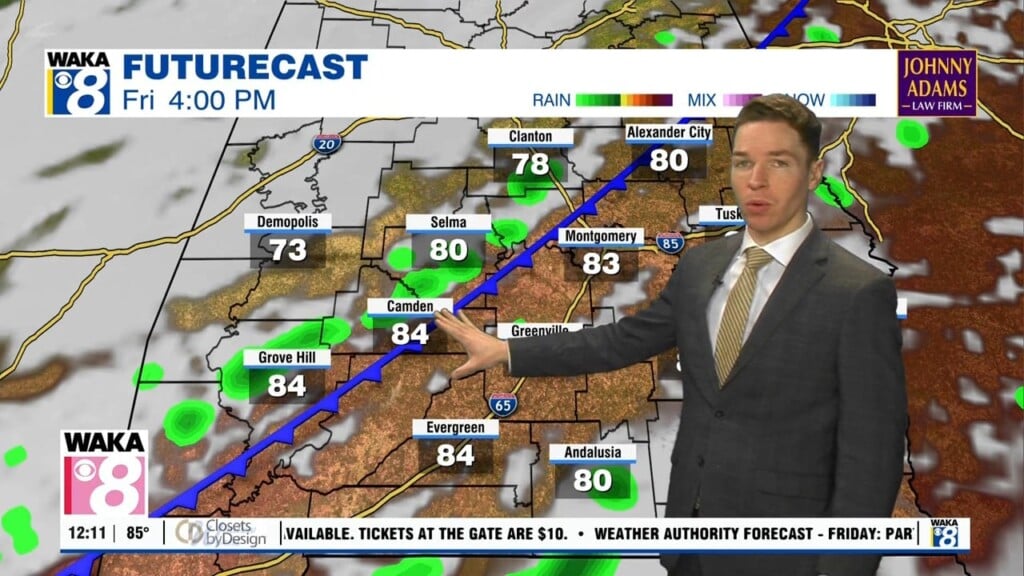
Hot, humid; Higher rain chances for the rest of the week, weekend
Thursday morning was partly to mostly sunny with temperatures soaring to around 90° and heat indices to near 100° prior to noon. High temperatures range from the low to mid 90s with peak heat indices near or over 100° Thursday. However, rain coverage looks higher during the afternoon/evening, with showers and storms becoming widely scattered. That means some of our area gets an early cooldown from rain.
Showers/storms gradually fade away Thursday night. The sky remains partly cloudy with lows in the low to mid 70s. Friday looks hot and humid again, with high temperatures in the low to mid 90s and peak heat indices near or over 100°. Although, showers and storms become widely scattered about again during the afternoon/evening. Rain gradually fades away Friday night, but rain chances look even higher over the weekend.
Showers and storms become scattered about Saturday and Sunday, mainly during the afternoon and evening. A somewhat-uncommon-for-July cold front moves into Alabama late Sunday. While the front brings no heat relief in the form of cooler or drier air, it serves as a focus for showers/storms through early next week. Although, it stalls and washes out, so rain chances trend lower for the latter half of next week. High temperatures may trend back into the mid 90s as a result.