90+ Degree Heat Continues
It’s still summer and we’re expecting 90 plus degree heat through the week and upcoming weekend. Heat indices will hover around 100 throughout the week. Rain chances will be slim for a few days but increase late week and over the weekend. All indications are the summer heat remains in full force going into next week as well.
In the meantime, scattered showers and t-storms will continue to work through the area this evening. Some storms could be strong to possibly severe. The main threat will be damaging wind gust. It’s going to look partly cloudy with temps in the lower to mid 70s overnight.
High pressure to our east will provide an easterly wind flow and that takes a bite out of the heat just a bit for some Tuesday and Wednesday. We’re expecting lower to mid 90s with humidity levels down just a tad. There could be a rogue shower or t-storm but most should remain rain free.
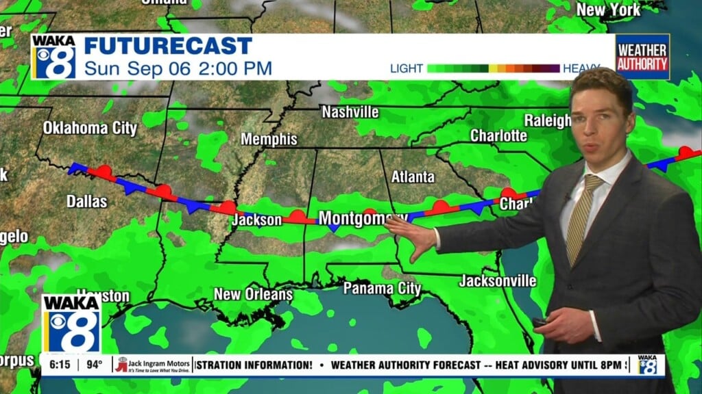
Another frontal boundary will enter the picture late week into the upcoming weekend. Hot and humid conditions will be the norm with lower to mid 90s still in place. Rain chances will pick up and we’re expecting daily rounds of scattered showers and t-storms.