One More Mild Day Ahead
We continue with some pleasant weather conditions through Wednesday but the latter half of the work week and upcoming weekend will be a different story. The coldest air so far this fall will be blowing into the deep south this weekend. It’s time to prepare those tender plants for a frost/freeze event.
In the meantime, we’re expecting a mostly cloudy sky with temps not as cold as last night. Lows will be in the mid to upper 40s early Wednesday morning. Some moisture will stream into the area early and a passing shower can’t ruled out across South Alabama. We expect any rain activity to depart by midday and the afternoon will look mostly sunny and temps will warm into the lower to mid 70s.
We head into Wednesday night with a frontal boundary approaching the state. Moisture along the front is limited and there’s little chance for rain activity around here. As the front pushes through the area, we experience breezy conditions Thursday. The colder air will spill into the state Thursday night into Friday. Our temps are down into the lower 40s Friday morning. Another surge of colder air flows into the state Friday afternoon and this will be the coldest so far this fall.
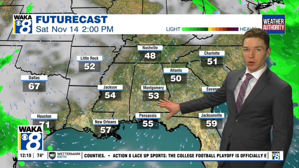
The upcoming weekend is going to feel a little bit like winter around here. Temps will take a plunge and we’re expecting lower to mid 30s for lows both Saturday and Sunday morning. That puts us in a frost/freeze zone areawide. There will lots of sunshine overhead but temps will struggle to reach the 60 degree mark both days. It may be time to dig in the closet for those sweaters and jackets!