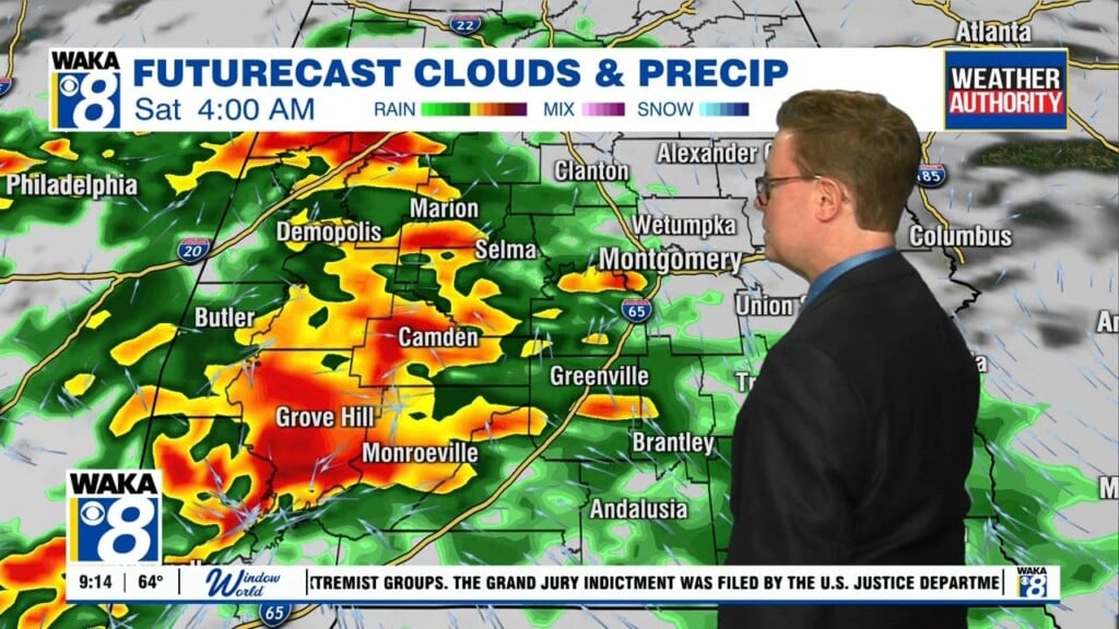
Rain & Storms Remain
This muggy pattern continues across Central Alabama and we’ll continue to have a risk of scattered to numerous showers and thunderstorms across the area today and tomorrow. Rain will be possible at anytime, but thunderstorms are expected during the afternoon hours. Otherwise, when it is not raining, the sky will be mainly cloudy, and afternoon highs will be in the mid 80s across much of the area, with overnight lows in the mid to upper 60s.
CHANGE IS IN THE WORKS: If you are tired of this weather pattern, get ready because it’s about to change! During much of the daytime on Tuesday across Central Alabama, we’ll have a risk of showers and storms once again. Through the day, we’ll have an upper trough that will develop over the eastern part of the country, bringing us a much drier continental airmass over Central Alabama for Wednesday through Friday. Afternoon highs will be in the lower to mid 80s through Thursday, and warming into the mid to upper 80s for Friday.
WEEKEND SNEAK PEEK: Looks like we’ll have ridging starting to build back over the Southeast, continuing the mostly sunny sky with warmer temperatures, and no rainfall as of now. Highs will be back in the mid to upper 80s, with a few 90s possible. Overnight lows will be in the 60s.
Stay dry and have a marvelous Monday!
Ryan


