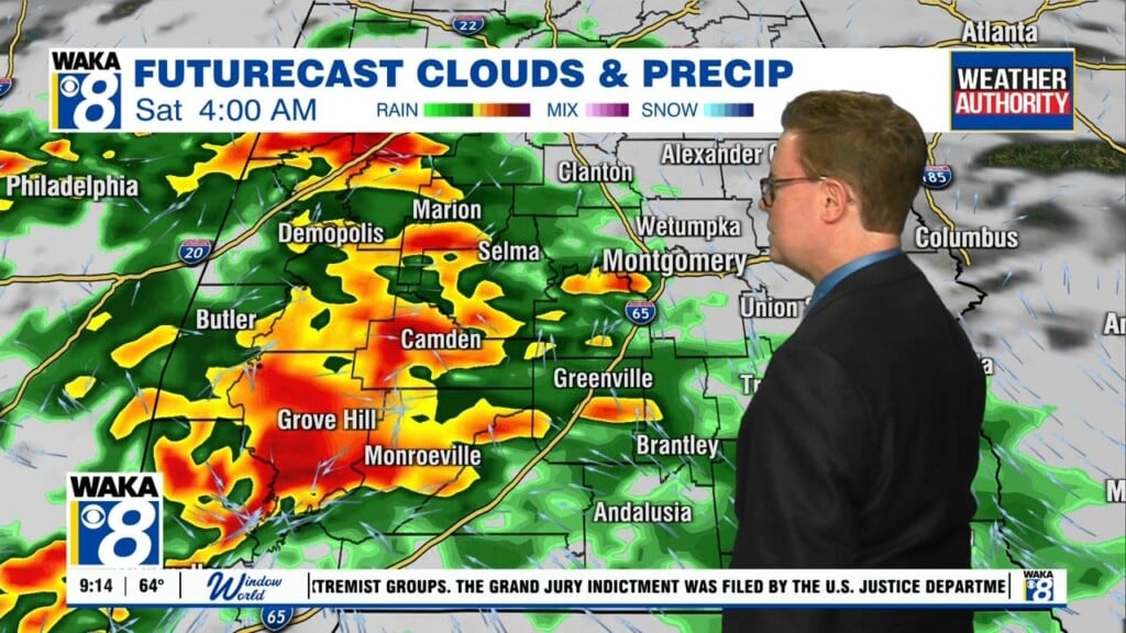
Daily Rain and Storms
TODAY & THE WEEKEND: Little to no change in the overall weather pattern is expected as the very warm and humid air mass will remain in place. We are going to leave rain chances in the forecast for these days and the greatest coverage of rain and storms will come during the afternoon and evening hours. There is no way of knowing exactly when and where they will pop up in advance, just note there is the risk of rain each day. When it is not raining, expect a mix of sun and clouds, and temperatures should be in the upper 80s and lower 90s.
TROPICAL UPDATE: Watching two areas of unsettled weather in the Atlantic. The first is a tropical wave located several hundred miles south-southwest of the Cabo Verde Islands is producing disorganized showers and thunderstorms. Development, if any, of this system should be slow to occur during the next few days while the wave moves westward near 20 mph over the tropical Atlantic. The second area, which is closer to home, is a broad area of low pressure which is expected to form over the northwestern Caribbean Sea and the Yucatan peninsula this weekend. Conditions appear to be favorable for gradual development of this system while it moves slowly northwestward toward the southern Gulf of Mexico early next week. The first feature has been given a 20% of development over the next five days, while the second area has been given a 50% of development the next five days.
INTO NEXT WEEK: The models still try to bring somewhat drier air into Alabama Tuesday/Wednesday, which would bring lower rain chances and slightly less uncomfortable conditions. We will see more sun than clouds, but we are going to mention the chance of a few showers/storms each day. Temperatures next week remain close to seasonal averages with highs in the upper 80s to lower 90s and lows in the low 70s.
Have a phenomenal Friday and wonderful weekend!
Ryan


