Author: Shane Butler

An Active Weather Pattern Through Midweek

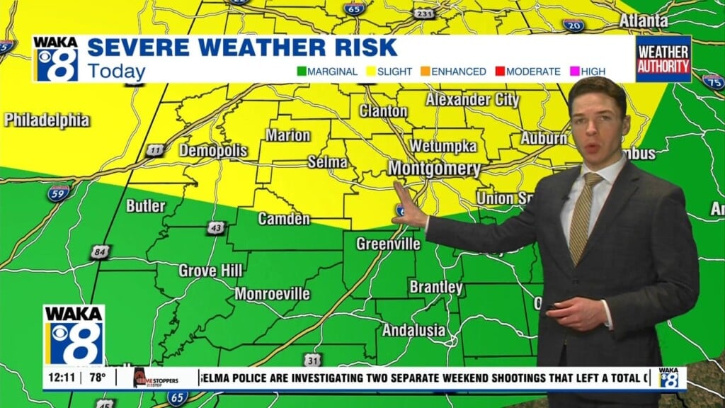
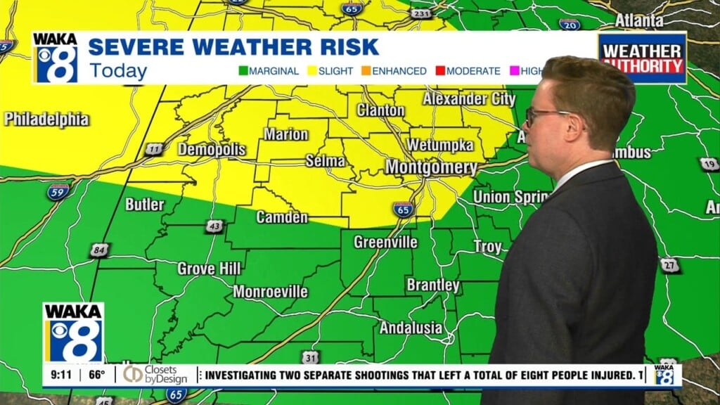
We have a rather active weather pattern through midweek. Rain and storms are likely at times. The first round comes through tonight into early Tuesday. It will be ahead and along the frontal boundary as it pushes through the state Some storms could be strong and possibly severe. The main threat will be damaging winds. Our tornado threat is low…

Sunshine Returns Saturday

A frontal boundary pushes through and settles along the gulf coast Saturday. High pressure briefly takes over and we get some fairly decent weather conditions Saturday. We’re expecting mostly sunny skies along with temps in the lower 60s by the afternoon hours. The high will give way and begin moving east of us Sunday. This allows the frontal boundary to…

More Rain Ahead For Friday

A very active weather pattern will remain over the region through the weekend into the middle of next week. Several rounds of rain are likely and a few storms could develop during this time as well. Tonight and Friday are looking cloudy and wet with occasional showers passing through the area. Rainfall potential continues to be around 1 to 2…

A Rainy Weather Pattern Ahead

We’re entering into a rainy weather pattern for a couple of days. A frontal boundary moves into the state and hovers around through Friday afternoon. We expect cloudy skies with periods of rain Thursday into Friday. Our two day rainfall potential is looking like 1 to 2 inches. Temps will manage 60s for highs and lows in the 40s during…

Cloudy & Wet Late Week

A frontal boundary will pass through the state overnight. Clouds and light rain accompany the frontal system. Temps will only fall into the low to mid 40s and that takes away any wintry precipitation threat for us. We’re back into a mix of sun and clouds Wednesday. Temps should be a little cooler with highs in the upper 50s to…

A Warmer Tuesday Ahead

We have several weather disturbances making a run at us this week. A couple come through late night and bring little moisture with them. The main system arrives Thursday and lingers through Friday. In the mean time, temps will warm nicely Tuesday. We’re looking at highs in the mid 60s. A little cooler behind a front on Wednesday. Highs drop…

Light Rain Overnight

A frontal boundary makes its way through the state overnight. We expect increasing clouds late evening with rain arriving around midnight. This will just be rain and rainfall amounts will be light. The rain departs but the clouds may linger a bit Friday. Gradual clearing from west to east throughout the day. As skies clear, cooler air will be spilling…

A Warmer Thursday Ahead

A weather disturbance will exit the state and allow for clearing to take place tonight. Clear skies and light winds will allow temps to fall back into the lower 30s early Thursday. We’re expecting a day full of sunshine and that should finally allow temps to warm nicely tomorrow afternoon. Upper 50s to lower 60s are likely across the area….

Sunshine Area Wide Wednesday!

The stubborn clouds will gradually give way to clearing and we’re back into some sunshine Wednesday. We’ll get a couple of days of it and temps will try to warm a bit. Looks like the 60 degree mark is possible Thursday afternoon. Another frontal system will make a push through the area Friday. This could lead to a few showers…

Gradual Clearing Tuesday

The rain is moving out and once the clouds depart, we have some nice weather for a few days this week. The clearing will be gradual Tuesday. This will slow the warming and temps only manage upper 40s to lower 50s for highs Tuesday afternoon. Mostly sunny skies and seasonal temps are in store for Wednesday and Thursday. High pressure…