The Heat Backs Off For A Few Days
Upper 80s to around 90s for highs through midweek.
Upper 80s to around 90s for highs through midweek.
A few strong to possibly severe storms Saturday evening.
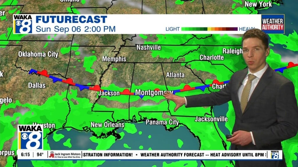
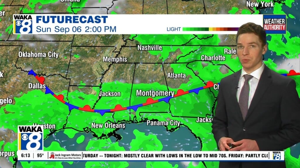
A frontal boundary will help generate a few rounds of showers and t-storms both Saturday and Sunday.
Clouds and rain activity will drop temps into the upper 80s to lower 90s over the weekend.
Mid to upper 90s are likely through the rest of this week.
Heat indices will range between 105 to 109.
A summer scorcher settling over us early next week.
We expect mid to upper 90s most of next week.
We could be facing mid to upper 90s early next week.
Hot and humid with temps in the 90s for highs but showers will help knock the heat down in spots.