We sit in a very moist tropical air mass this week. This will lead to the daily barrage of afternoon showers and storms. Some storms will be capable of very heavy downpours along with frequent lightning and gusty winds. When storms aren’t occuring, hot and humid conditions will be in play. Temps will manage upper 80s to around 90 for…
Author: Shane Butler
Front Moving Our Way
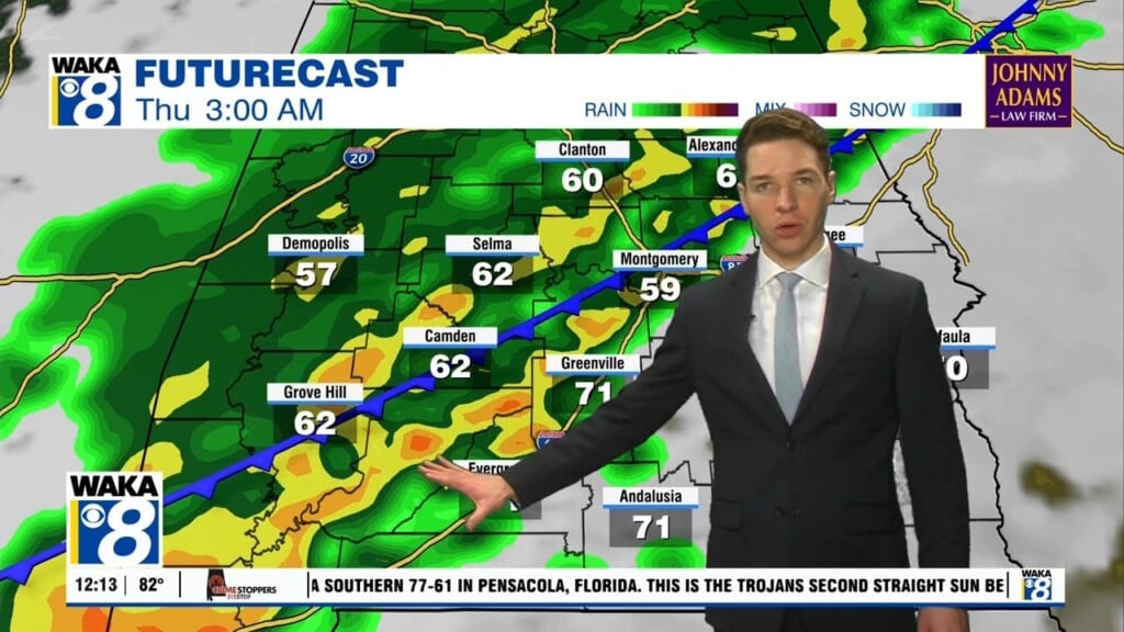
We continue with this hot and humid weather pattern through Thursday. Temps will manage upper 80s to lower 90s for highs. Scattered showers and storms are likely throughout the afternoon hours. We have an increase in showers/storms as a frontal boundary moves into the area Friday. Showers and storms will form ahead and along the boundary. There could be a…
Trending Drier Over The Weekend!
We continue with hot and humid conditions along with scattered afternoon showers and storms. It’s what you expect this time of the year and we don’t see this changing over the next few days. Temps will manage upper 80s to lower 90s for highs each afternoon. Scattered storms develop in the late afternoon heating and this will offer some relief…
Hot & Humid With Daily PM Showers/Storms
A hot and humid weather pattern is in play across the area this week. Temps will manage upper 80s to lower 90s for highs each day. Moisture will be streaming in on an southeasterly wind flow. This will fuel those afternoon showers and storms through most of the work week. Remnants of T.S. Danny will track to our east and…
Summertime Heat & Humidity
The hot and humid days of summer settle over us and little change is expected over the next several days. Temps will continue to climb into the upper 80s to lower 90s for highs. Morning lows will hover around 70 degrees. The chance for any showers or storms will be greater during the afternoon hours. Pop up showers and storms…
Rain Chances Increasing Again
A very familiar weather pattern will maintain itself over us for the next several days. Temps will start out in the upper 60s to lower 70s while afternoon temps manage upper 80s to lower 90s. The daytime heating will lead to those typical afternoon showers and storms. They usually come with heavy downpours, gusty winds, and frequent lightning strikes. Outside…
Typical Summertime Conditions
Typical summertime weather around here until further notice. Mornings start out quiet but afternoons will reveal pop up showers or storms. It’s a daily routine that seems to be taking hold of our area. Temps start out in the upper 60s to lower 70s but manage upper 80s to lower 90s for highs. High pressure will be the main feature…
More Rain & Storms This Week
Tropical moisture continues to linger over us and that will lead to periods of rain and storms this week. A frontal boundary will push into this tropical air mass and help kick off more rain and storms Tuesday. There will be times of heavy downpours along with frequent lighting and gusty winds. Some storms could be strong and possibly severe…
Tropical Downpours This Weekend
The dry air mass is on the way out and we’re setting up for a rather wet Father’s Day weekend. The tropical system in the southwestern gulf is taking shape and should become a tropical storm sometime Friday. It will take on the name Claudette. The system is expected to make landfall as a tropical storm along the Louisiana coast…
Heavy Rainfall Potential This Weekend
A drier air mass has moved into place and we get to enjoy lower humidity levels through Thursday. The dry air makes it feel more comfortable, especially during the early morning hours. Abundant sunshine really takes advantage of the dry air and temps respond with highs easily reaching the lower 90s Thursday afternoon. Enjoy the milder air while it last…


