Author: Shane Butler

Warming & Wet Late Week

We head into the work week with high pressure to our east and T.S. Beta to our west. Both are having an impact on our weather. The ridge of high pressure is maintaining a dry NE flow over the area. Mean while, the circulation around beta and a SW flow aloft is bringing clouds over us. Cooler temps underneath this…

Impacts From Beta Late Week

Gulf moisture is streaming into our southern areas while high pressure keeps it cool and dry over our northern counties. T. S. Beta is circulating moisture into southern Alabama. This is leading to clouds with light rain at times. Mean while, high pressure to our east is providing a drier northeasterly flow and keeping partly cloudy and cool conditions across…

Chance Of Showers Over The Weekend

Sally has moved on but the circulation on the backside of the tropical system is keeping clouds over our area. These will continue to thin out with time. Overnight is looking fairly mild under a mostly cloudy sky. Temps will fall off into the upper 60s. We expect a partly sunny sky with only a slight chance of a shower…

Sally Continues To Weaken But Heavy Rain Lingers

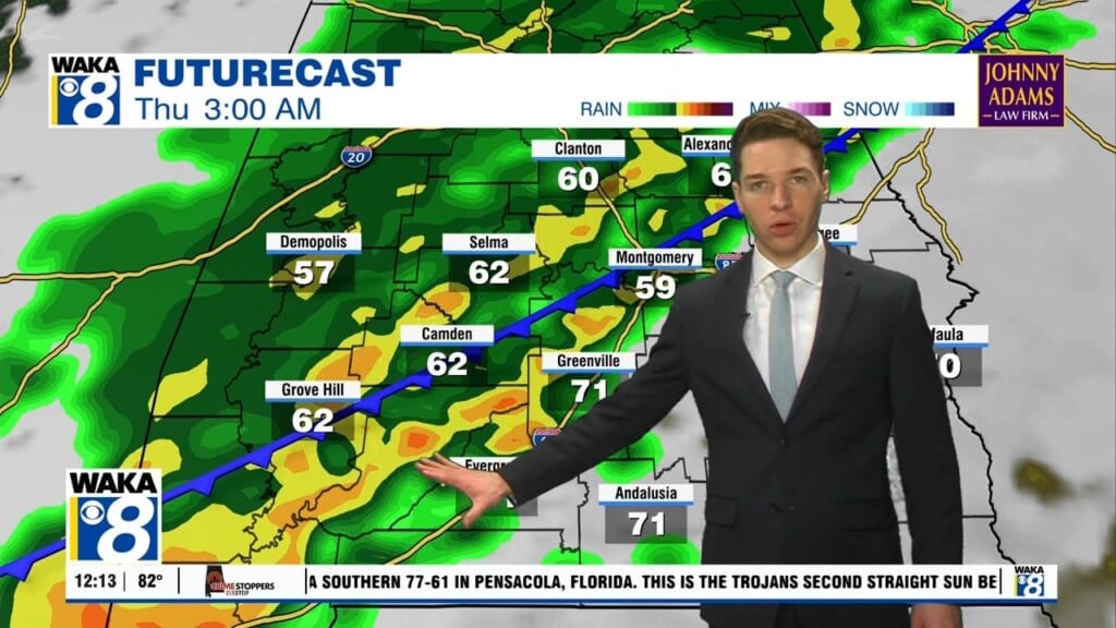
Torrential rain and tropical-storm-force winds are likely this evening into early Thursday for south central and eastern Alabama. Sally was downgraded to a tropical storm with winds near 60 mph. It’s picked up a little speed and moving northeast at only 7 miles per hour. The forward speed should continue to increase tonight. Eventually, Sally moves into east-central Alabama Thursday…

Windy, Wet & Stormy Wednesday

Hurricane Sally is moving slowly towards the northern gulf coast. Winds have strengthened tonight and this is still a dangerous Cat-2 storm. Landfall is expected somewhere along the Alabama coast early Wednesday. Around here is will be a significant rain event. Rainfall amounts of 4 to 8 inches with some spots seeing as much as 12 inches. This will lead…

Heavy Rainfall Ahead

Hurricane Sally has strengthened to a Cat-2 with winds of 100 mph. Additional strengthening is possible before landfall somewhere along the MS or AL gulf coast late tomorrow night. Our greatest threats from this tropical system will be heavy rainfall leading to flash flooding. Some areas could see as much as 6 to 12 inches. Rainfall starts Tuesday and continues…

Some Tropical Impacts Locally From Sally

T.S. Sally is approaching the central gulf tonight, The circulation around the storms is sending tropical bands into our eastern and southern counties this evening. We expect some brief heavy rain, and gusty winds in these bands. Several more of these bands will pass over the area Monday. Greater impacts to our area begin later Tuesday and continue through early…

Tropical System Heads Towards The Southeast Gulf

Moisture will continue to move into the area and lead to scattered showers and storms over the weekend. It’s not a washout by any means and there will be times of sunshine. Temps manage upper 80s to lower 90s for highs each day. Our attention shifts towards the gulf Saturday afternoon. T.D. #19 will move into the southeast gulf from…

Occasional Showers & Storms

Our rain chances will continue to climb over the next several days. An easterly wind flow is bringing in the moisture to fuel afternoon showers and storms. We don’t see anything going severe but periods of heavy rain, gusty winds, and frequent lightning strikes are certainly possible. This weather setup will be hanging around through the weekend and well into…

Our Rain Chances Going Up

An established easterly wind flow is gradually sending Atlantic moisture our way. This will increase our rain chances as we head through late week and the upcoming weekend. By Thursday afternoon, we expect scattered showers and storms to develop during the afternoon heating. These could be tracking slowly and producing a decent soaking in spots. We don’t expect anything going…