Author: Shane Butler

Rain & Storms Through Late Week

A rather moist and unstable air mass has taken over the deep south. This will lead to numerous showers and storms working through the state. Storms that do develop will be capable of heavy downpours, frequent lightning strikes, and gusty winds. Rainfall potential will range between 1 to 2 inches through Thursday. Individual storms could drop even more rainfall over…

Active Weather Pattern This Week

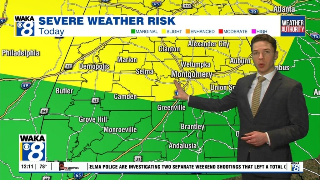
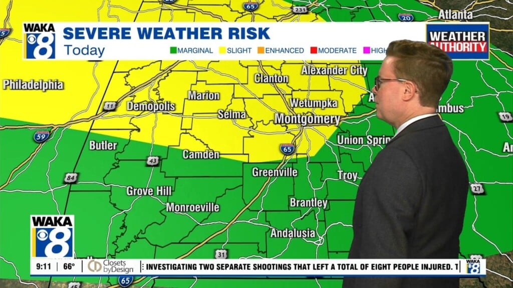
We have an active week of weather around our area. A frontal boundary is just to our west. Ahead of it, we have a moist and unstable air mass. This will lead to several rounds of showers and storms over the next several days. Some of the storms could be strong and even severe at times. The main threat would…

Hot & Humid Again !

The ole peaky upper low pressure system to our east will be making its way farther away from us. High pressure takes over and we’re back to typical summer-time weather conditions around here. Temps will climb into the upper 80s to lower 90s for highs and overnight lows hover in the upper 60s to lower 70s. Temps may try to…

Mid 90s Possible This Weekend

The upper low pressure system to our east continues to slowly move father away from the deep south. The circulation around it is still having an impact on our weather. Drier air is being pulled into the area on northwesterly winds. This will subside and high pressure becomes more dominate over the region. As a result, we go back to…

90+ Degree Heat Late Week

A very mild air mass continues to hover over the state but it will gradually give way to higher heat and humidity. An area of low pressure to our west is wrapping drier air around its westward extent. This is making it feel very nice for June. The low will move away and we will get back to conditions more…

Turning Drier This Week

An area of low pressure to our east will gradually pull away and leave us in a drier weather pattern this week. Until the low is far enough away, we will hold onto at least a slight chance of showers Tuesday. As drier air moves into the region, humidity levels come down and it begins to feel a lot better…

A Quiet Weather Pattern

A summertime look and feel to our weather over the next several days. High pressure will maintain a mostly sunny and dry pattern. Temps start out in the mid to upper 60s while afternoon highs hover in the upper 80s to lower 90s. The only relief from the heat may come from one of those random pop up showers but…

Sunny & Dry

We have a chance to dry out for several days. A mainly clear and dry air mass has taken over and it’s sticking around until further notice. High pressure is settling over the deep south. This will provide us lots of sunshine and dry conditions well into next week. Temps will feel rather comfortable in the early morning but quite…

Drier Air On The Way

Our tropical-like weather pattern is on the way out and we’re heading towards dry and milder days ahead. A frontal boundary moves through the state and pushes the rainy weather to our east overnight. High pressure builds in behind the front and we get to enjoy some sunny and drier weather conditions for a change. The drier air will produce…

Tropical-Like Through Wednesday

A moisture rich tropical air mass remains in place and it’s sticking around through Wednesday. Rain and storms will continue to move across the area. Some storms will drop heavy rainfall at times. The risk for a few stronger to severe storms will come into play Wednesday afternoon. A frontal boundary will advance southward into the deep south. More showers…