Author: Shane Butler

Chilly Nights Ahead But Warmer Late Week

High pressure continues to provide us a quiet weather pattern over most of our area. An old frontal boundary does linger across the northern gulf and it’s helping to keep the chance of showers along our southern most counties. A few showers could move through overnight but nothing more than that with this system. The ridge of high pressure will…

Mainly Dry & Mild Week

A fairly quiet weather pattern settles in across the state this week. Mornings will be cool and afternoons mild. A frontal boundary parks itself along the gulf coast for a few days. We see a minor disturbance moving along it and trying to send some showers into our southern most areas Tuesday evening into early Wednesday. The rest of the…

Overnight Showers Then Cooler Friday

A frontal boundary makes a pass through our region tonight. Cooler air slides in behind the boundary and temps fall into the lower 50s overnight. The front sets up over the gulf coast just as a disturbance works along the boundary overnight. Light to moderate rain moves through the area into early Friday morning. Most of the rain activity will…

Clearing And Cooler Late Week

We have another round of storms possible early Thursday morning. The main threats will be damaging winds and hail. Improving weather is on the way for midday Thursday into the afternoon hours. Afternoon temps will warm nicely into the upper 70s to lower 80s Our weather remains fairly quiet with sunshine and cooler temps Friday. Highs may only manage mid…

Rain/Storms Tonight

We have an unsettled weather pattern remaining in place through Thursday morning. Occasional rain/storms will move over the area. Some of the storms could be strong and possibly severe. The main threats will be damaging winds and hail. Rainfall potential will range between .25 to 1 inch. We see the rain activity coming to a brief end Thursday and lasting…

Rain/Storms Return Late Tuesday

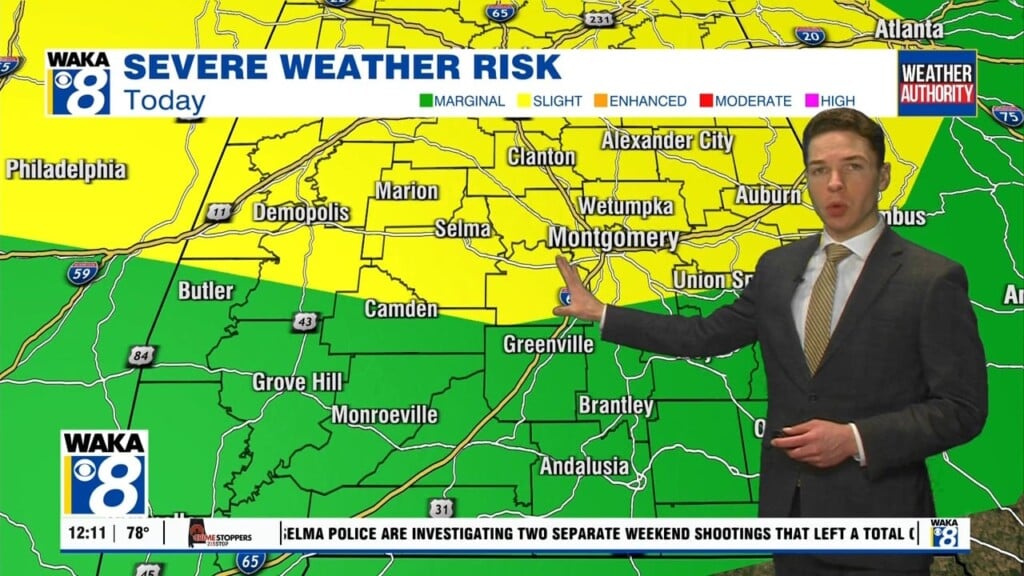
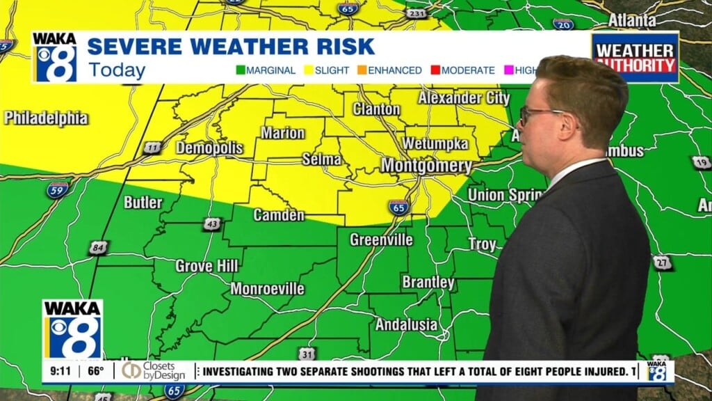
A warm summer-like weather pattern holds on but there are changes on the way. Temps will continue to warm into the low to mid 80s through Thursday. Rain does return Tuesday and we could get a few storms to pass through the area Tuesday evening. Storm Prediction Center has us under a marginal risk (1 out of 5) with the…

Highs Around 90s Through Saturday

Summer-like warmth is sticking around through Saturday. High pressure to our south is carving us out sunny and dry conditions. Temps respond with highs in the upper 80s to lower 90s. A frontal boundary moves a run at us Saturday night into Sunday. We pick up a round of showers as the system moves through the area. Temps do come…

A cold front has moved south of us but it will eventually lift back northward as a warm front. In the mean time, northwesterly winds will usher in cooler and drier air into the state. Temps will drop into the mid 50s overnight. Abundant sunshine is back in play Thursday and this will help send temps into the upper 80s…

Rain/Storms Tonight

A cold front will make a southward push across the state tonight. Rain and storms move ahead and along the boundary. Strong to severe storms are likely across north Alabama but we expect the storms to weaken quite a bit as they pass through our area. Our northern most counties: Marengo, Hale, Perry, Coosa, Chilton, and Tallapoosa could see a…

Scattered Showers Through Midweek

The first couple of days this week will support scattered showers and possibly a few t-storms at times. Rainfall potential looks to stay under a half inch through early Wednesday. Temps will hover in the lower 80s for highs. High pressure builds over the deep south Thursday and sticks around for several days. Abundant sunshine will lead to temps climbing…