Author: Shane Butler

More Rain Ahead For Part Of The Weekend

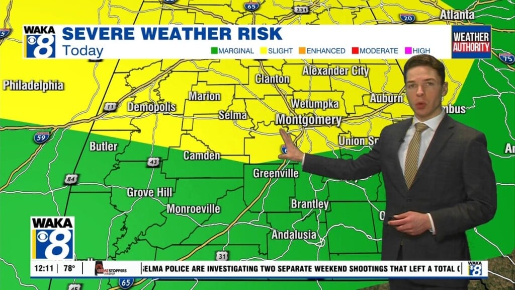
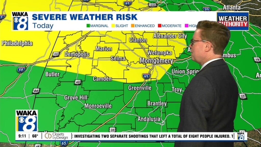
A frontal boundary pushing southward through the state bringing rain and storms along with it. Some of the storm could be strong west of the I-65 corridor. The main threats would be damaging winds and quarter size hail. The front eventually makes its way to the coast early Saturday. The better chance for any rain activity will be southward along…

Rain/Storms Ahead For Friday

Spring officially begins at 10:50 PM but of course spring-like warmth has been here for days now. Friday won’t be any different as temps climb into the lower 80s for highs. What will be different is the return of rain and storms Friday afternoon and evening. A frontal boundary approaches and eventually moves through the area. Rain and storms develop…

Chance for rain increasing late week

No need to wait on the official arrival of spring because it’s been feeling like it all week. Temps continue to manage low to mid 80s and we see this trend sticking around through Friday. Occasional showers are possible but most spots remain dry for now. This will change as a frontal boundary moves into the deep south Friday. Rain…

More Spring Warmth Ahead

A frontal boundary remains draped across the state tonight. Showers will continue to develop along and out ahead of the boundary. Eventually it will lift northward and place us in an even warmer air mass. Temperatures will climb into the mid to upper 80s both Wednesday and Thursday. Most spots look to stay dry over the same period. A stronger…

Occasional Showers Through Midweek

It continues to look and feel a lot like spring and it just so happens spring officially begins Thursday. High and low temperatures remain well above the average for this time of the year. Morning temps start out in the lower 60s and then upper 70s to mid 80s are likely each afternoon. Occasional showers are possible along with a…

Occasional Showers Ahead

This spring-like weather pattern is holding on strong across our area. High pressure to our south is slowing the movement of frontal boundaries to our north. As a result, rain and storms pass just north of our area. It’s looking like the boundaries will eventually drift into and possibly south of us over the next few days. Occasional showers will…

Warm Weekend

This spring-like weather is sticking around with no end in sight. Temps will continue to climb well above average for this time of the year. Looks like showers will be possible each day with occasionally a t-storm or two. High pressure sitting to our south is helping keep this mild weather pattern around. Most of the active areas of rain…

I think all of us will agree that spring has sprung and we’re settling into a warmer weather pattern until further notice. High pressure to our south continues to block any significant frontal movement through our area. As a result, there’s very little change from day to day weatherwise. Temps will manage 70s to lower 80s for highs and lows…

80+ Degree Warmth Ahead

It continues to feel a lot like spring across the deep south. Temps remain well above the averages for this time of the year. Showers are around but we’re still not looking at a persistent rain event like last week. We have a cluster of rain/storms moving southward tonight. Some of the storms could produce gusty winds and hail. We…

More Spring-Like Warmth Ahead

It’s starting to look and feel a lot like spring across the area. Temps are running well above the averages for this time of the year. Looking ahead and I see this trend continuing into next week and possibly beyond. High pressure sitting south of us is helping to hold off the advancement of frontal boundaries to our north. The…