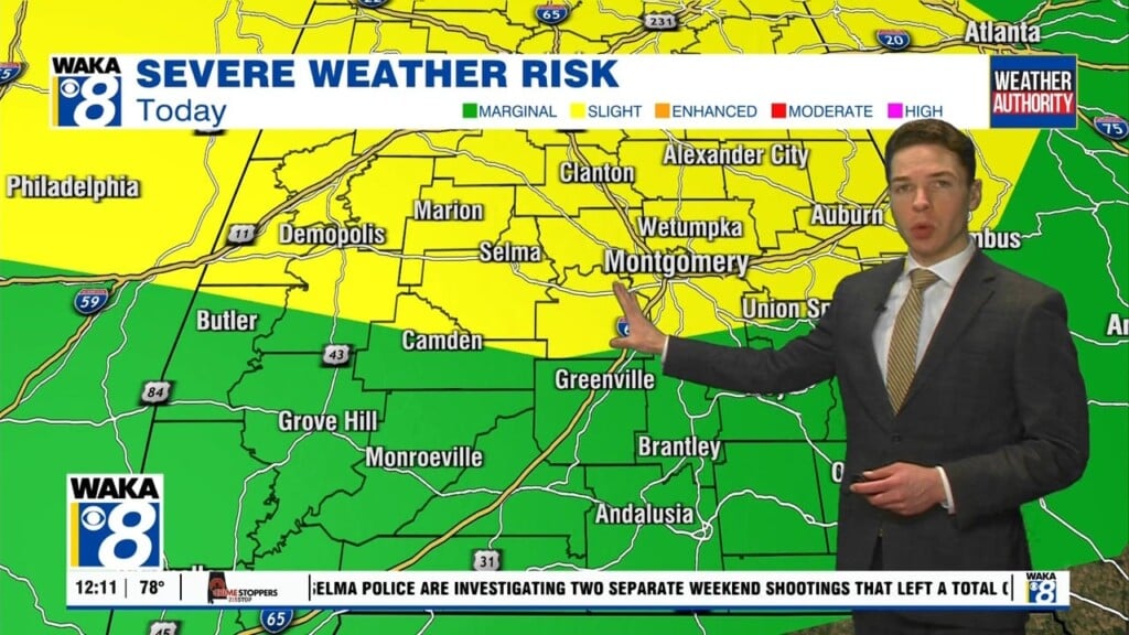
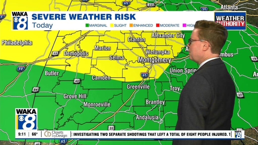
The unofficial start to summer is underway and our weather definitely has the look and feel of it. We expect this to become a familiar pattern going forward. Each day will reveal lots of sunshine along with hot and humid conditions. Scattered showers and storms are possible each afternoon. This will be the setup through midweek. A frontal boundary makes…
Author: Shane Butler
Trending Dry & Warmer For A Change
A frontal boundary will push through the area tonight and that will put us on the backside of all the active weather for a change. High pressure will build over the deep south beginning Friday. It will be the main weather feature keeping our area mostly sunny and dry throughout the holiday period. Temps will warm into the mid and…
Storm Threat Lingers Into Thursday
This wet and stormy weather pattern has an end in sight but not until a couple more rounds of storms pass through the area. Some of the storms could be strong and even severe at times. The main threats will be damaging winds, hail, and possibly a tornado or two. The storm develop will continue ahead of a frontal boundary…
Periods Of Rain & Storms
We remain in a very active weather pattern and it’s sticking around through Thursday. This means we get periods of rain and storms to move through the area. There is a threat for some storms to produce damaging winds and hail. We will need to introduce a very low end risk for tornadoes as well. Rainfall potential is looking like…
Keep The Rain Gear Handy This Week
A rather active weather pattern is ahead for us this week. Periods of rain and storms are likely through late week but improving conditions are ahead for the holiday weekend. In the mean time, clouds along with rain and storms will work through the region each day. Some of the storms could be strong to severe. The main threat will…
Numerous Showers & Storms Possible This Weekend
We have entered into an active weather pattern and its hanging around through the middle of next week. Over the weekend, we have a front pushing southward into the state. Rain and storms are likely ahead and along the boundary. Some of the storms will be capable of damaging winds and hail. Your outdoor plans will likely be impacted at…
Feels Like Summer Now But Changes Are Ahead
Summer-like heat is on tap for today and Friday. High pressure will help to keep us mostly sunny and dry for now. Temps will manage lower to mid 90s for highs. Southerly winds will kick in as the high pressure ridge slides farther east of us Friday afternoon. This will open the gates for gulf moisture to flow into the…
Hot & Dry For Now But Changes Are Ahead This Weekend
We’re in the midst of a summer-like weather setup but its days are numbered. A frontal boundary will bring rain and help knock the heat down over the weekend but until then its remaining rather hot for May. A mostly sunny and dry weather pattern keeps us in the low to mid 90s through Friday. High pressure over the region…
Heating Up Through Late Week
We’re on the backside of a frontal boundary and that’s allowing drier air to spill into the state tonight. Despite upper 80s and lower 90s for highs today, the drier air is helping to off set that heat just a bit. You will notice this during the evening hours as the sun gets lower on the horizon. Mainly clear skies…
Summer-Like Heat Returns This Week!
Summer-like weather conditions are on the horizon for us this week. In the mean time, a frontal boundary will push through the area tonight. We could see a few isolated showers or t-storms accompany the boundary. We’re on the backside of the front Tuesday. High pressure moves over the region and we’re seeing abundant sunshine along with warmer temperatures. Temps…