Author: Shane Butler

A Slight Warm Up Midweek

High pressure over the eastern US is keeping our weather quiet for now. We expect a mostly clear sky with temps in the lower to mid 30s overnight. It’s a mix of sun and clouds Wednesday. Temps will warm a bit with afternoon highs in the upper 50s to lower 60s. Another frontal system is set to make a run…

Winter has made a return to the deep south and its settling in for a few days. Tonight will be one of the coldest in quiet a while. The sky clears and the winds go calm. That’s a perfect setup for temps to plunge. Temps are expected to fall into the upper 20s to lower 30s by early Tuesday morning….

Rain/Snow Mix For Some Tonight

The severe storm threat is over for our area. Now we transition into a cold and windy weather setup. Temps will be falling from west to east as much colder air spills into the area behind an area of low pressure. Strong northwest winds 15-25 mph will make it feel quite blustery overnight. The area of low moves over the…

Severe Storm Threat This Weekend!

Our unseasonably warm weather pattern continues into Saturday but significant changes are ahead for Sunday. A strong cold front will enter the deep south Saturday and push eastward through the state. Temps warm into the lower 80s ahead of the boundary. A few showers may dot the landscape through the day but the main event holds off until Saturday night….

More Storms Ahead For The Weekend!

Dense fog likely overnight into early Friday. Visibility could drop below one half mile in spots. You may need to give yourself some extra time for the morning commute. Temps will fall into the lower 60s for overnight lows. We’re back into an unseasonably warm day Friday. Temps climb into the upper 70s to lower 80s once again. A few…

Strong To Severe Storm Threat Overnight Into Thursday

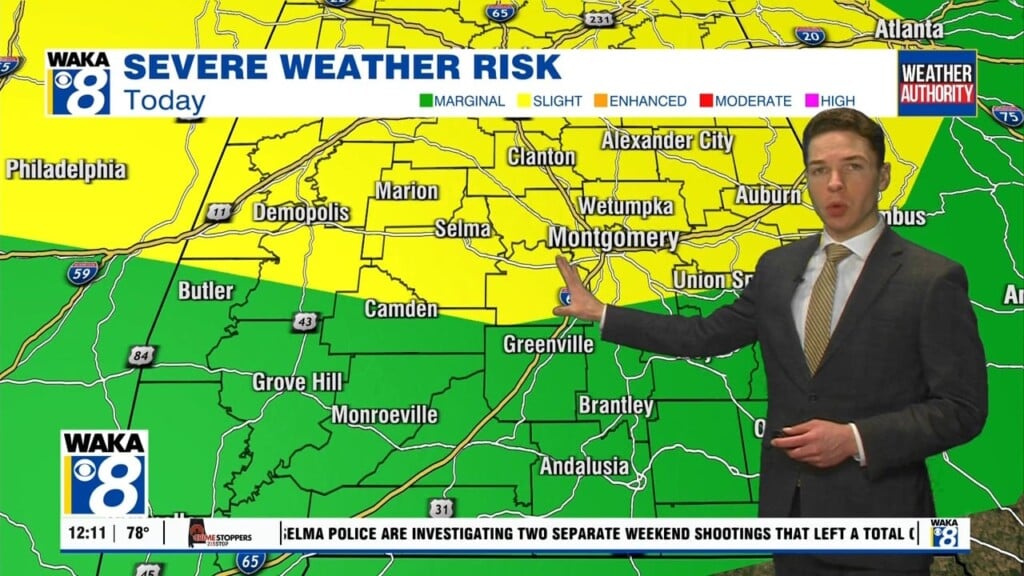
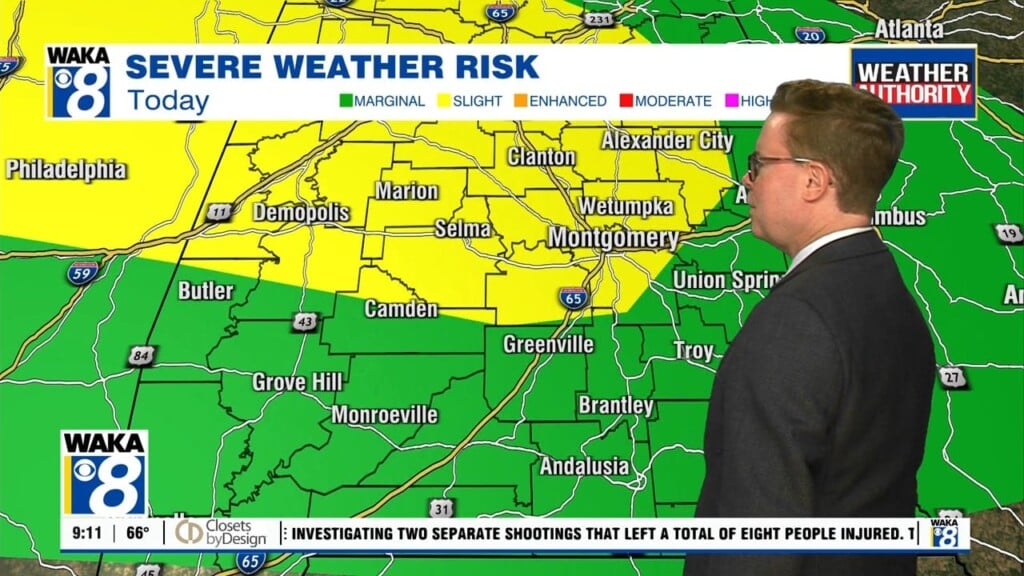
A severe storm threat is in play overnight into Thursday. The main threat will be storms capable of producing damaging winds. Tornado threat is low but not zero. The greater risk of these will be north of our area. Bottom line is everyone will need to be weather aware through the night into Thursday. Where storms aren’t occuring, you can…

An Active Weather Pattern Through The Weekend

We enter into a very active weather pattern beginning Wednesday and it sticks around through the upcoming weekend. A severe storm threat moves into our area Wednesday night and continues into Thursday. The main threats will be damaging winds up to 60 mph and a few tornadoes. Periods of heavy rainfall are likely with this system as well. Everyone will…

Trending Wet & Stormy This Week

No change in this unseasonably warm weather pattern we’re in for now. Southerly breezes continue to provide warmth with well above average high temps. We expect the upper 70s to lower 80s to hang around through the rest of the week and into the upcoming weekend. High pressure positioned over Florida is helping to maintain this rather spring-like setup over…

Rather Warm For December Standards

An unseasonably warm weather pattern is in play across the deep south. Upper 70s to lower 80s are likely for high temps through the middle of this week. High pressure positioned southeast of us is helping to maintain this break from the norm. A southwest wind flow has established itself and that’s typically a warm setup for us. It’s also…

Unseasonably Warm For Late December

High pressure continues to be the main weather feature over the deep south. It’s providing us a warm southwesterly wind flow and that’s sending temps into the 70s for highs. We expect the high pressure ridge to maintain its grip over us through at least the middle of next week. Temps could actually nudge 80 degrees either Monday or Tuesday….