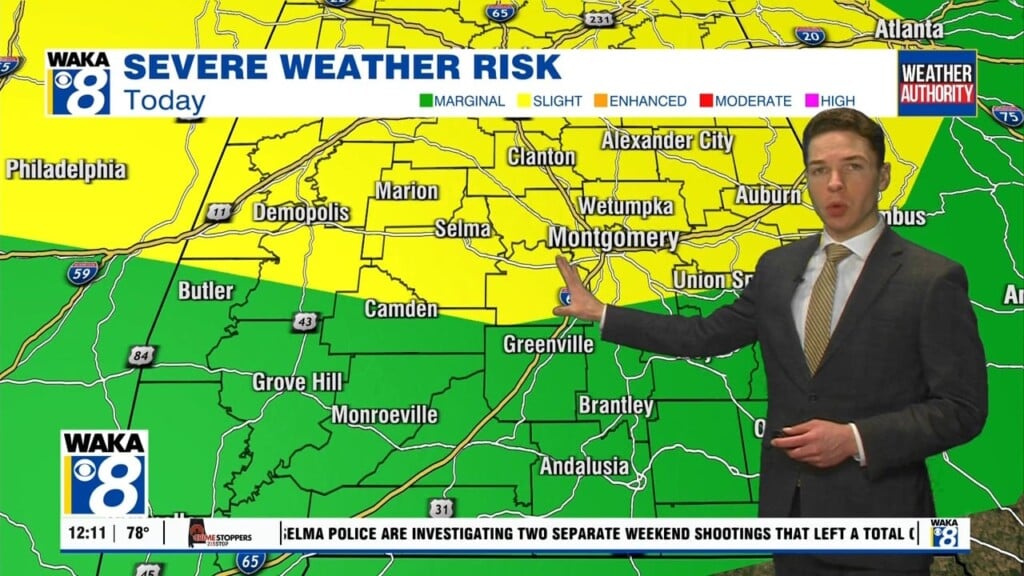
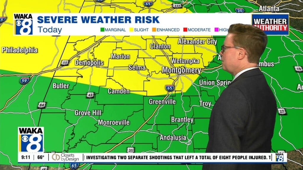
If you didn’t check the calendar, you would think we skipped right into late July early August. It sure feels like it and there’s several more days of this 90 plus degree heat ahead. That’s what the thermometer shows but it will feel more like 105 to 110 for heat indices. It’s tough heat and you should take precautions to…
Author: Shane Butler
SEVERE T-STORM WATCH UNTIL 2AM THURSDAY
A broken line of storms will continue to move westward through our area tonight. Some of the storms will be capable of damaging winds, very heavy rainfall, frequent lightning strikes and hail. Power outages are certainly possible with a storm system like this. We expect the storms to work across the entire area but may begin to weaken a bit…
An Early Season Heat Wave!
An early season heat wave is underway and it’s going to continue until further notice! Hot and humid conditions are likely each day but there will be some showers and storms around to knock the heat down at times. We expect this to be the case through at least Friday. The storms that do occur will be capable of heavy…
Dangerous Heat This Week!
We’re at the start of a heat wave and all indications are it’s sticking around for quite a while. High pressure over the deep south will maintain this hot and humid pattern. Temps will manage mid to upper 90s for highs but when you factor in the humidity it will feel more like 100 to 110 degrees. That’s dangerous heat…
More Rain/Storms Ahead
A frontal boundary has moved into the state. A little drier air has flowed into the area and that’s helping to keep most spots rain free. This setup will continue overnight into early Friday. We expect a disturbance to make its way into the area Friday afternoon. Another round of rain and storms are likely to work across the state…
An Active Weather Pattern Lingers Into The Weekend
We head into Thursday with another complex of rain/storms moving towards the area. Rain/storms will push eastward during the morning commute. We expect the rain activity to taper off as northwesterly winds move in behind the morning storms. The afternoon is looking partly sunny with temps still managing the lower 90s for highs. Another round of rain/storms moves into the…
Rain Chances Increase Late Week
A rather hot and humid air mass has established itself over us and it’s sticking around through late week. Temps will climb into the lower to mid 90s each afternoon. There will be some relief from the heat with those afternoon showers and storms. We actually see the potential for a parade of rain and storms working through here at…
The Heat Is On This Week!
The heat is on with temps easily climbing into the 90s for afternoon highs this week. The daytime heating will lead to isolated showers or storms. The rain activity will help knock the heat off in spots. Later in the week, a frontal boundary makes a run at the state. We expect this boundary to enhance the risk for showers…
A Little Drier Over The Weekend
We’re now on the backside of a frontal boundary. This will allow northerly winds to transport in a little drier air for a change. You may notice the difference during the morning hours over the weekend. Mainly sunny skies will still help warm temps into the upper 80s to lower 90s for afternoon highs. That’s still a bit hot but…
More Storms Friday But Looking Drier Over The Weekend
High pressure continues to have a hold on our weather but that’s changing as a frontal boundary moves into the area Friday. The air mass ahead of the boundary will support scattered showers and storms through Friday afternoon. Some of the storms will be capable of heavy downpours, gusty winds, and frequent lightning strikes. Where storms do occur the heat…


