Author: Shane Butler

A Rainy Weather Pattern

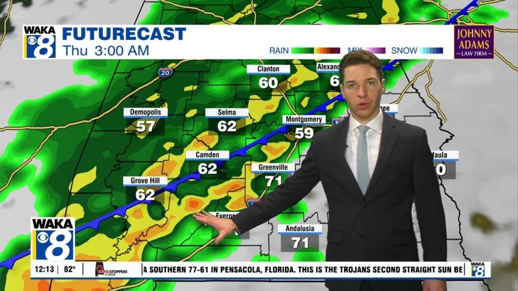
Our active weather pattern continues through Thursday. Periods of rain and storms are likely each day. Improving weather conditions return late week and we’re setting up for a decent looking weekend. In the mean time, rain and embedded storms work across the area tonight. A few storms could be strong to possibly severe. Rainfall potential of 1 to 2 inches…

Showers & Storms Tuesday

We’re in the midst of another fairly active weather pattern. We expect periods of rain and storms through Thursday. Some of the storms could be strong and possibly severe Tuesday afternoon/evening. The main threats will be damaging winds and hail. Clouds and mainly rain are in store for Wednesday and Thursday. A northeasterly wind undercuts the clouds and temps only…

Dry & Cooler For Now

Cooler Nights Ahead

A dry and slightly cooler air mass has taken over the region. We expect several days of sunshine and mild conditions. There is a disturbance making a run at us tonight but it looks like the dry and stable conditions will win out. We could see a few clouds roll through over night but that’s about it. We’re back into…

Dry & Milder Weather Pattern

A dry and milder weather pattern is ahead for us. Frontal boundary is moving eastward through the area tonight. A cool and drier wind flow will set up over the region. Skies clear out and weather conditions remain rather mild through the end of the work week. Morning temps start out in the 50s while afternoon highs only manage mid…

Cloudy & Wet Overnight

The strong to severe storms have moved east and out of our area. A few storms will still be possible along our southern counties early Wednesday morning. The rest of the day supports improving weather and that will be the trend for the rest of the work week. Abundant sunshine along with drier air will make it feel rather comfortable….

Rain/Storms Through Midweek

We’re in a very active weather pattern through midweek. Rain and storms are likely and some storms could be strong to severe, especially Tuesday! A frontal boundary will make its way towards us. Ahead and along the boundary we expect areas of rain and storms. It’s looking like two possible rounds for Tuesday. A morning round and then afternoon/evening round….

Mostly Dry Weekend Ahead

We’re on the backside of a frontal system and this puts us in a drier setup for now. We expect lots of sunshine with temps warming into the mid 80s Saturday. Most of Sunday stays dry but moisture begins to surge into the area as the day progresses. We’re facing showers and storms late Sunday afternoon into the evening and…

An Active Weather Pattern Ahead

A frontal boundary moves through the state overnight into early Friday. We expect a round of showers and possibly a few t-storms. It still doesn’t look like anything too strong or severe for us. You may hear some gusty winds along with brief heavy rainfall but that looks to be about it. The rain activity moves out but the clouds…

Some Rain Heading Our Way

High pressure over the western Atlantic is helping to provide us a southerly wind flow. Moisture trickles in as temps warm nicely into the mid to upper 80s. This setup continues through Thursday afternoon. After that, a frontal boundary heads towards the state. It will tap into the moisture and increase our chances for a few showers and possibly t-storms…

The Warming Continues!

We’re looking at a potential fog issue overnight into early Wednesday. Low clouds or fog will probably hang tough and could impact your morning commute. Visibilities would be reduced making it a bit hazardous. A little extra time may be required to make it into the office on time. The heat is cranking up as we head into midweek. Mid…