Author: Shane Butler

Warming Trend This Week

We get several days to dry out and heat up this week! High pressure over the deep south is going to provide us a quiet weather pattern through Thursday. We expect lots of sunshine along with temps warming into the 80s each afternoon. A southerly wind flow will also aid in the warm up but eventually it leads to an…

Strong To Severe Storms Saturday

We head towards the weekend with another frontal system approaching the state.We expect rain and storms move through the area early Saturday morning. Some of the storms could be strong to severe. The main threats include tornadoes, damaging winds, and hail. A second round of storms works through the area Saturday afternoon. The main threats here will be damaging winds…

Colder Overnight!

We’re now on the back side of a cold front and you’re going to know it by tomorrow morning. Much colder air is spilling southward into the region behind the frontal boundary. Temps will fall into the upper 30s to lower 40s for lows. The NWS has posted a frost advisory north of us but you folks in Coosa,Chilton, and…

Chilly Air On The Way

A strong cold front is heading south and it’s bringing in a late season cold snap to our area. The front passes through dry but the colder air spills in behind it Wednesday. Chilly northwest winds will usher in the colder air. Temps will only manage mid to upper 60s Wednesday afternoon. The winds relax and temps drop into the…

Midweek Cool Snap

We start the week out with a very dry air mass in place. Temps are about where they should be for this time of the year. Highs in the 70s with lows in the 50s. There are changes on the way as a strong cold front moves into the area Wednesday. It’s a dry front but it does have some…

Rain Lingers But Not A Weekend Washout

A frontal boundary sits south of us over the northern gulf. Disturbances move along it and we get periods of rain out this set up. This weather pattern will linger into Saturday. We don’t see anything strong or severe coming out of this but it will impact your outdoors plans. Clouds and rain activity will hold temps in the upper…

Rain Returns Friday

We find ourselves in a break from the rain activity for now. This will last until the late afternoon hours of Friday. In the mean time, skies will be partly to mostly cloudy with temps in the lower 50s overnight. Friday starts out cloudy and dry with a cool northeast breeze. Temps may only manage mid to upper 60s for…

Cloudy & Damp For Now

A cloudy and damp weather pattern is in play across the area. We expect periods of rain and possibly storms through Saturday afternoon. Several waves will work along a frontal boundary that hangs up nearby over the northern gulf. One to three inch rainfall is possible over the next three days. The t-storm threat continues to look low for our…

Trending Wet & Cooler Late Week

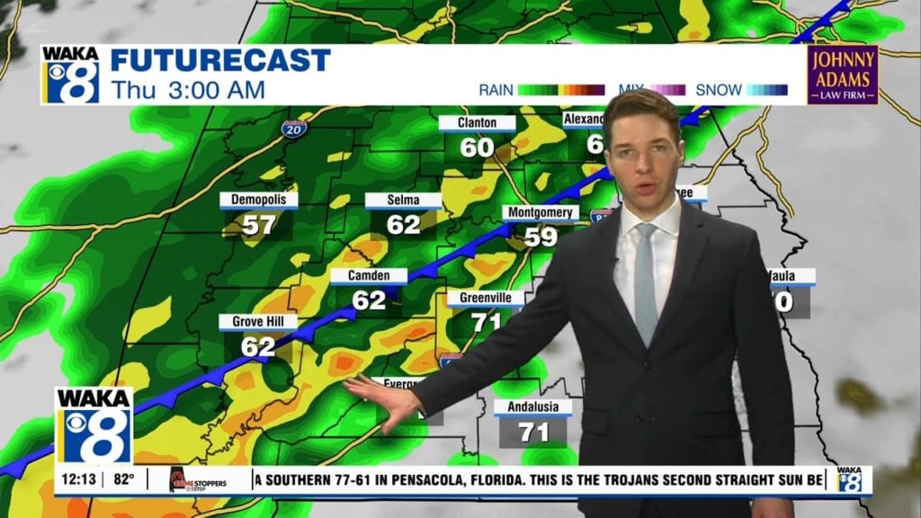
We transition out of our summer-like weather into a cloudy, wet, and cooler setup for the remainder of the week. High pressure has given way and moved east of us. A frontal boundary makes it approach into the area Wednesday. We expect periods of rain and a few storms to accompany the frontal passage. It doesn’t look like anything too…

Showers Returning This Week

High pressure over the deeps south is giving us a mostly sunny and warm start to the workweek. The high will slide eastward but still close enough for another warm day Tuesday. Temps will reach the mid 80s under abundant sunshine. Heading into midweek, we have a frontal boundary approaching the state. This will tap some moisture and we’ll bring…